Timing for Duluth: It looks mostly dry from Wednesday into Wednesday night, though a few snow showers are possible at times, with little to no accumulation expected through Wednesday evening. Snow is likely to pick up late Wednesday night into Thursday morning, with the worst conditions expected during the day Thursday and continuing into the evening. Later on Thursday, the snow could mix with or change to sleet or freezing rain. Precipitation should taper off late Thursday night into early Friday morning.

One uncertainty in Thursday’s forecast is how far north the warm layer at 850mb will extend.
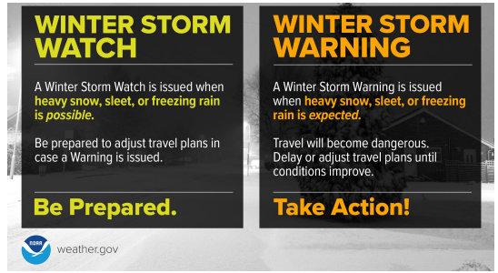
Where 850mb temperatures are at or above 0°C, precipitation will change to a mix; however, where temperatures are below 0°C, it is more likely to stay as snow or include some sleet.

…Snowfall Forecast…
This is my initial snowfall forecast for Thursday’s weather system.
I’ll probably tighten the gradients a bit more if needed by Wednesday afternoon, depending on how the guidance trends.
Right now, I’m expecting around 4 to 7 inches of snow for northeast Minnesota into far northwest Wisconsin, and about 2 to 4 inches for the southern parts of northwest Wisconsin.
Duluth area: 4 to 7 inches of snow is possible from late Wednesday night through Thursday evening, with a chance of sleet and ice accumulating Thursday afternoon into the evening.

…Ice Potential…
Freezing rain is possible Thursday and Thursday evening in parts of the Northland, with ice accumulations of up to 0.10 inches in northeast Minnesota and between 0.05 to 0.20 inches across much of northwest Wisconsin.
Note: The corridor where ice could accumulate may shift west or east in the next 24 hours, depending on whether the storm track changes.

Make a one-time donation
Make a monthly donation
Make a yearly donation
Choose an amount
Or enter a custom amount
Thank you for your support.
Your contribution is appreciated.
Your contribution is appreciated.
DonateDonate monthlyDonate yearlyA low-pressure system will move east from eastern Colorado on Wednesday, reaching the northeast Kansas and southeast Nebraska area around 7 AM Thursday. From there, it’s expected to continue tracking northeast, arriving in central Wisconsin by Thursday evening around 7 PM.
Cold air carried by northeasterly winds will funnel into the Northland north of this system, while warmer air and moisture move north at the same time.
This setup will bring snow to areas where the air column is cold enough, while places with a layer of warm air above and near-freezing temperatures at the surface could see anything from snow to sleet to freezing rain.

The upper-level part of Thursday’s system will move northeast out of the Rockies on Wednesday, then sweep across the upper Midwest Thursday before heading out to the northeast by early Friday morning. As the trough moves over the upper Midwest, there’s a chance it could become slightly negatively tilted.
EPS model 500mb height anomaly forecast valid 7 PM Wednesday to 1 PM Friday.

…Strong NE winds near Lake Superior…
Northeast winds will pick up near Lake Superior, including Duluth, on Wednesday, with gusts of 15 to 30 mph by the afternoon. They’ll strengthen further on Thursday, reaching gusts of 30 to 45 mph, before gradually easing Thursday night into early Friday morning.
Strong winds will bring blowing and drifting snow to parts of the North Shore on Wednesday night and Thursday.

The arctic air that’s covered much of Canada this month has moved east, dropping temperatures from just above zero to the teens or even 20s below today. This frigid air is positioned so that any northeast wind near Lake Superior pulls it in, straight from the icy pool to our northeast. While it may warm up a bit along the way, there’s still plenty of cold hanging around to our north and east as we head into early April.

Leave a Reply