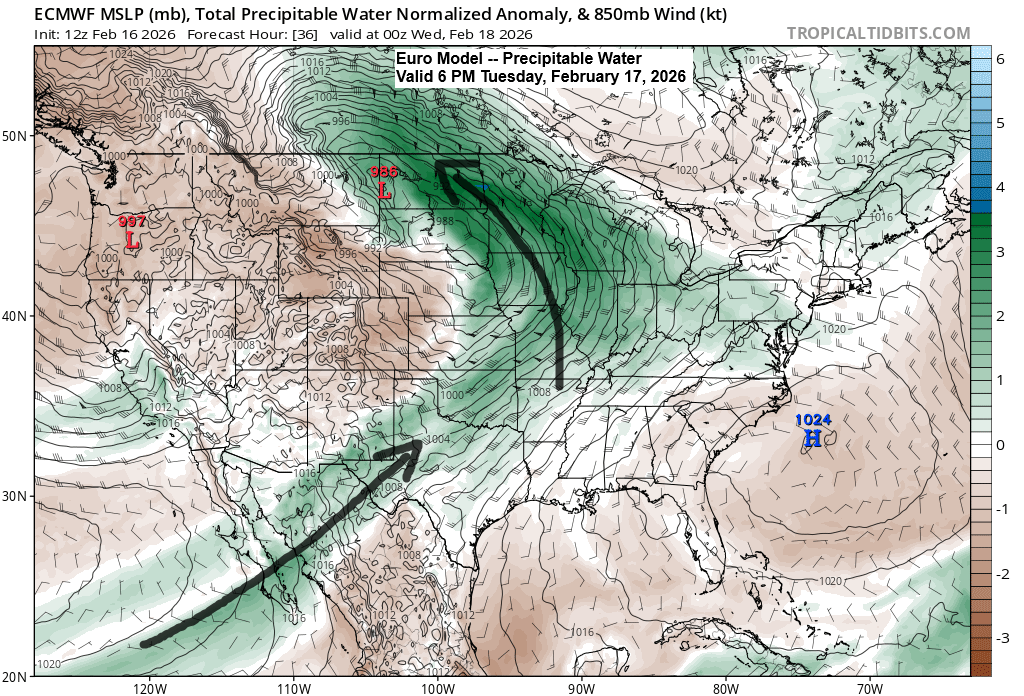
The winter storm moving in Tuesday evening will bring plenty of moisture, with a plume stretching northeast from the Baja region and additional moisture streaming up from the Gulf. PWATs of 0.5 to 0.75 inches are expected across much of the Northland Tuesday night into Wednesday morning, which is unusually high for mid-February. The snow that falls will likely be wetter and heavier than the drier, fluffier snow we’ve seen in many systems this winter.
Duluth area: East winds will pick up through the day Tuesday with gusts of 25 to 35 mph by the afternoon. It should stay dry during the day with precipitation arriving Tuesday evening. The strongest winds from the east-northeast will occur Tuesday night into Wednesday with gusts of 30 to 55 mph. Winds will decrease a bit in Duluth by Wednesday night. Note: Strong winds could cause scattered power outages in the city from Tuesday night into Wednesday. The heaviest precipitation, with snow and a wintry mix, is expected from Tuesday night through Wednesday morning, with additional snow likely continuing from Wednesday afternoon into Thursday morning.
…Winter Weather Headlines…
- A blizzard warning is in effect for the North Shore of Lake Superior from 9 PM Tuesday until 12 PM Thursday.
- Winter storm warnings and watches are in effect for parts of northeast and northern Minnesota, extending into far northwest Wisconsin, from Tuesday evening through 12 PM Thursday.
- For the Duluth area, a winter storm warning is in effect Tuesday evening through 12 PM Thursday.

A closer look at the blizzard warning for the North Shore of Lake Superior.
-Impacts include strong east winds with gusts reaching up to 60 mph.
-Strong winds and weight of snow on tree limbs may down power lines and could cause sporadic power outages.
-Whiteout conditions are expected, making travel dangerous and potentially life-threatening, particularly along Highway 61 on the North Shore.
Note: While not certain, it’s possible the NWS might extend the blizzard warning to include Duluth, so we’ll just have to wait and see.


Here’s my updated snowfall forecast, valid from Tuesday evening through 7 AM Thursday.
Duluth area: Expect between 10 and 14 inches of snow, with 6 to 10 inches more likely in Superior and the far south side of Duluth.
From Two Harbors through Silver Bay to Grand Marais along the North Shore, expect 15 to 20 inches of snow.
Far northern Minnesota, including International Falls and Orr, is set to get about 1 to 3 inches of snow, with the same amount expected from Hinckley over toward Hayward.
Ely, Hibbing, Bigfork, Grand Rapids, Aitkin, Brainerd, Walker, Moose Lake, Solon Springs, and Ashland can expect 3 to 6 inches, while the Bayfield Peninsula is looking at 6 to 10 inches.
Additional adjustments to the forecast are possible over the next 24 hours; stay tuned for updates.
Near Lake Superior, especially along the North Shore, snow could fall at a rate of an inch or more per hour from late Tuesday night through Wednesday morning.

…Thunderstorm Risk…
There is a chance of a few thunderstorms late Tuesday afternoon into Tuesday night over parts of the upper Midwest, including the southern portions of the Northland.
If a thunderstorm occurs in our area, it is likely to be accompanied by snow, sleet, or freezing rain.

…Ice Potential…
Some areas in north central and east central Minnesota, as well as northwest Wisconsin, could see freezing rain and sleet from Tuesday night into Wednesday morning, with a light glaze of ice up to about 0.05 inches possible.
The greatest chance of freezing rain and sleet is mainly located south of the black line on the map.

Leave a Reply