6:38 PM Friday, December 20, 2024
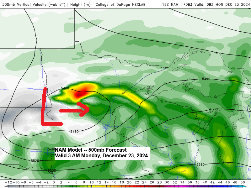
The next opportunity for snow or mixed precipitation in the Northland is expected on Sunday night and Monday, as a low-pressure system moves eastward from the Dakotas.
There is disagreement among computer models regarding the location of a relatively narrow band of snow with this system. However, where that band sets up, we could see accumulations of around 1 to 3 inches.
The euro ensemble model shows the highest chances for an inch or more of snow setting up from parts of east central Minnesota into central/northern areas of Wisconsin Sunday night-Monday.
Note: Only 6 out of 50, or 12%, of euro ensemble members forecast at least an inch of snow in Duluth on Monday, but there’s still time for this to change.

With cold air in place and winds shifting to the south-southeast this weekend, light lake effect snow may occur along the North Shore of Lake Superior on Saturday, with localized accumulations of around an inch.
NAM 3km model simulated radar forecast valid 6 AM Saturday to 6 AM Sunday.

Thanks for reading!
Leave a Reply