On this date last year, Duluth saw a high of 40 degrees—a stark contrast to today’s peak of just 3 degrees.
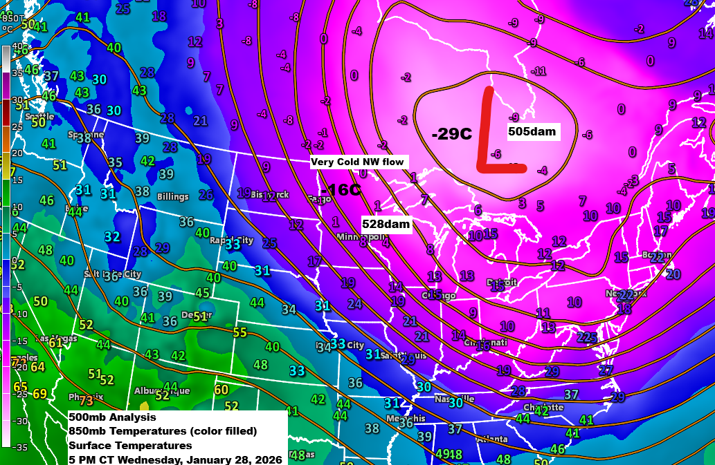
Widespread subzero temperatures hit the Northland again on Wednesday morning, and we have a few more nights of these cold temperatures before we get a break.
Temperatures tonight, Thursday night, and Friday night will range from the single digits below zero to the 20s below zero.

Highs today were mostly in the single digits above zero across the area, with similar temperatures expected for Thursday and Friday.
Highs in the teens to low 20s are expected to return this weekend, right where they should be for this time of year.

Light snow might make its way to parts of northeast Minnesota and northwest Wisconsin on Thursday as a trough passes through the area. There’s also a chance a convergence zone could form near Lake Superior, increasing the likelihood of snow, especially along the South Shore in far northern Wisconsin.
NAM 3km model simulated radar forecast valid Midnight tonight to Midnight Friday.

The south shore of Lake Superior might get about 1 to 2 inches of snow on Thursday, while the rest of the Northland is likely to see less than an inch.
Note: Snow could make a return on Sunday, but it’s not shaping up to be anything big. Most spots will likely see an inch or less of accumulation given the current outlook.

Leave a Reply