Two posts will be coming out today as multiple systems are set to impact the Northland this week.
The first post highlights a weather system expected late tonight into Tuesday morning, bringing the chance of snow, rain, and freezing rain. Because of this, a winter weather advisory is in effect for all of northeast Minnesota and far northern Wisconsin through Tuesday morning.


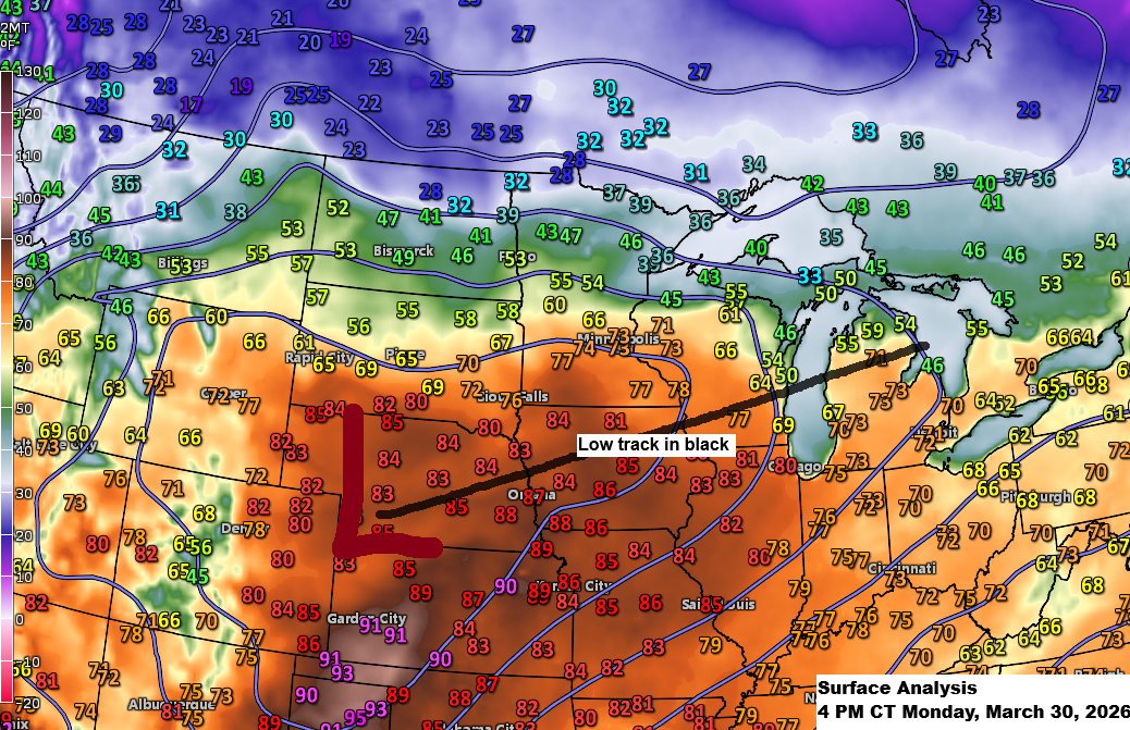
Tonight features a strong frontal boundary dividing warm, summer-like air to the south from colder air to the north. This sharp contrast in air masses, combined with some lift and a low-pressure system moving east-northeast from the western High Plains, will likely bring some precipitation to the Northland, especially from late tonight through Tuesday morning.
Precipitation will vary from snow in areas where the air column is cold enough, to freezing rain where a shallow layer of warm air sits above below-freezing surface temperatures, and mostly rain in places where the entire column stays above freezing.
Fortunately, precipitation amounts with this first system don’t appear too significant, and what does develop seems fairly scattered, so not everyone in the winter weather advisory area will see much.
That said, any freezing rain that forms could leave a thin layer of ice early Tuesday morning, making travel a bit tricky for a few hours until around noon.
Tonight’s system is expected to bring the most snow north of Duluth, with up to 2 inches possible by noon Tuesday, while areas farther south, including Duluth, should see less than an inch.

Early Tuesday morning, parts of northeast Minnesota and far northwest Wisconsin could see ice build-up ranging from a light glaze to about 0.10 inches before noon.

Note: The highest likelihood of precipitation, including snow or freezing rain, in Duluth appears to be between 4 and 10 AM on Tuesday.
NAM 3km model simulated radar forecast through 12 PM Tuesday.

…Temperatures…
Tonight in Duluth, temperatures will hover around 30 degrees, accompanied by gusty northeast winds ranging from 20 to 40 mph.

On Tuesday in Duluth, highs will range from 35 to 40 degrees, with northeast winds gusting up to 30 mph early on, then easing and shifting to the northwest by the afternoon.

Make a one-time donation
Make a monthly donation
Make a yearly donation
Choose an amount
Or enter a custom amount
If you find my forecasts helpful, you can support the blog here.
Your contribution is appreciated.
Your contribution is appreciated.
DonateDonate monthlyDonate yearly
Leave a Reply