6:10 PM Monday, March 31, 2025
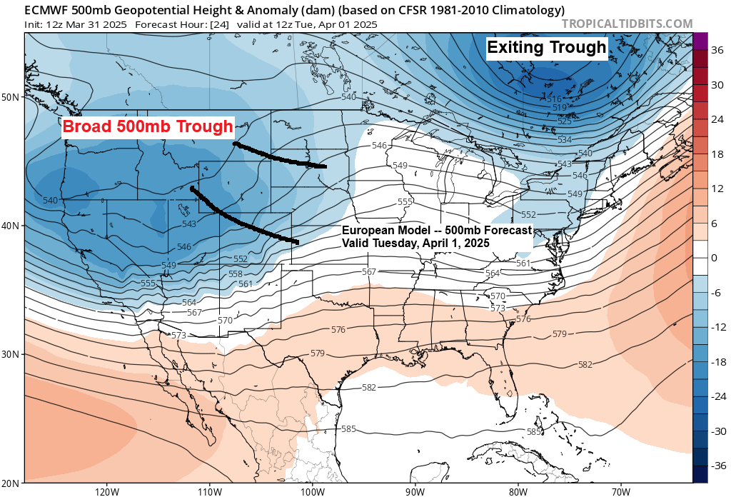
A broad trough will move over the northwest U.S. on Tuesday, then strengthen as it goes across the northern Plains and upper Midwest on Wednesday. The GFS model predicts this trough to be around -2 to -3 sigma, suggesting a strong system.

It took until early April, but chances are increasing that will finally see the biggest snowfall of the 2024-2025 season in Duluth on Wednesday.
Here are the top 3 daily snow totals in Duluth this season.
- 4.8 inches on January 12th
- 4.2 inches on February 1st
- 3.5 inches on November 25th
Top 5 Highest Snowfall by Day in April for Duluth, Minnesota
- 12.7 inches on April 15, 2018
- 12.1 inches on April 3, 2007
- 11.6 inches on April 14, 1983
- 11.2 inches on April 18, 2013
- 8.8 inches on April 11, 2008
Through 7 PM Tuesday
Only the far southwest part of the Northland, including the Brainerd Lakes area, might experience some precipitation before 7 PM Tuesday, which could be wet snow or a rain-snow mix, with snow accumulations of up to an inch possible. After 7 PM Tuesday, snow will move farther north and east across the Northland.

Duluth: Snow is forecast to begin Tuesday evening around 8 to 11 PM. Snow on Wednesday will linger into Wednesday night, although the snow will start to taper off Wednesday night. The heaviest snow is expected during the day Wednesday, with snowfall rates of up to 0.50-0.75″/hour possible at times. Wind will also be in issue once again as east to northeast winds gust to between 25 and 45 mph Tuesday night into Wednesday evening with the strongest winds expected during the day Wednesday. Areas of blowing snow are likely to develop late Tuesday night into Wednesday.
Euro model simulated radar forecast valid 1 PM Tuesday to 7 AM Thursday.
Snow – blue
Rain – green
Wintry mix – orange and pink

There is still some uncertainty regarding how far north the warm layer in southern Minnesota will get on Wednesday, but the more likely scenario is that this warm layer will only move through parts of northwest Wisconsin, causing more of a mixture of precipitation types during the day Wednesday, while mostly all snow occurs in northeast Minnesota and in Duluth. However, in Duluth, we could still see some sleet mix in at times during the day Wednesday.

Here’s my preliminary snowfall forecast valid from Tuesday evening through late Wednesday night.
-The greatest snowfall amounts, ranging from 8 to 15 inches, are anticipated along the North Shore of Lake Superior. This is due to terrain-enhanced snow as east winds cross Lake Superior, which should contribute to higher snow totals in that area.
-Lower snow amounts (2-4″) in the southeastern portions of northwest Wisconsin as that area is most likely to see more of a mix of precipitation types on Wednesday, which should keep snow totals down.
-Far northern Minnesota is also forecast to see somewhat less snow, and this is mainly due to the storm track. However, should the storm track shift farther north, then snow amounts would increase in that area.
-The rest of the area including Duluth is forecast to get about 6 to 8 inches of snow.
Note: Questions remain regarding potential dry slot effects in parts of the Northland Wednesday afternoon as well as precipitation types. There are several computer models showing higher snow totals occurring in Duluth and other parts of the Northland with this storm, but for now I’m going on the lower end of things, but changes to my snowfall forecast (shown below) are possible over the next 24 hours.
Check back for updates.

This winter storm watch will probably be upgraded to a warning or advisory by Tuesday morning.


The model data today indicates that many models are showing the surface low tracking near the yellow track on the map below, but some ensemble model members are still closer to the orange track. The purple track looks least likely to happen right now.

Severe Thunderstorm Potential
Severe thunderstorms may hit the central Plains on Tuesday, bringing large hail, strong winds, and a few tornadoes.

Severe thunderstorms will move east on Wednesday, affecting a wide area. There is a chance of large hail, strong winds, and tornadoes.

Thanks for reading!
Leave a Reply