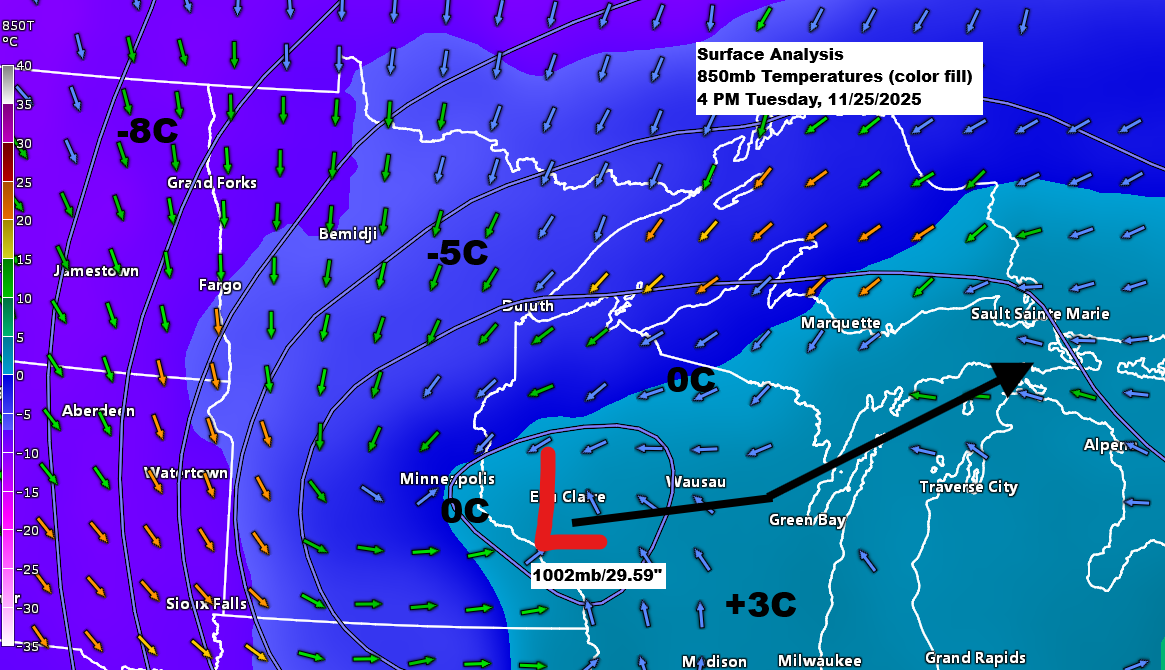
Let’s get straight to the point, since most are eager to know how much snow I expect by Wednesday afternoon, though there’s plenty to cover in today’s blog.
Twin Ports area
Snow totals remain about the same, with 6 to 9 inches expected in higher elevations and 3 to 6 inches in lower areas near Lake Superior.

Northland snowfall forecast
South Shore is expected to get the most out of this storm, with snow from the main system plus plenty of lake-enhanced and lake-effect snow. I’m predicting anywhere from 10 to over 25 inches by 6 PM Wednesday, with the heaviest totals likely around Butternut, Gile, and Hurley.
Snow totals are expected to drop off sharply across northern Minnesota, while most other areas can look forward to anywhere from 5 to possibly 10 inches of accumulation.

- The heaviest snow with this storm will fall tonight across northwest Wisconsin, east-central Minnesota, and the Twin Ports. Any rain or mixed precipitation near Lake Superior will change to snow this evening.
- Snow will taper off from west to east on Wednesday, though lake-effect snow will continue along the South Shore in northwest Wisconsin.
- Scattered snow showers and flurries continue in other areas of the Northland outside of the South Shore Wednesday night and Thanksgiving.
Radar loop ends 5:08 PM Tuesday, November 25, 2025.
Road conditions as of late Tuesday afternoon.
-Travel not advised (purple on map) in parts of western Minnesota.
-Roads are completely covered in the pink areas and are partially covered in the light blue areas.
Road conditions will worsen overnight in northeast Minnesota and northwest Wisconsin.

Winter Weather Headlines as of 4 PM Tuesday 11/25/2025
The National Weather Service has upgraded the winter storm warning to a blizzard warning for the South Shore of Lake Superior in northern Wisconsin through Wednesday night, with blizzard conditions expected, especially in higher terrain. Travel could be very difficult or even impossible in areas such as U.S. Hwy 2, WI Hwy 77, and US Hwy 51.
Note: The greatest chance for blizzard conditions is expected south and east of Superior, WI.

A closer look at the blizzard warning for the South Shore.


A strong mid and upper-level low and trough will keep moving across the upper Midwest tonight, bringing with it strong lift (highlighted in yellow, orange, and red on the map). This will lead to heavy precipitation, with snowfall rates of up to 1 inch per hour expected in east-central Minnesota and northwest Wisconsin.

Temperatures will drop into the upper teens and 20s by late tonight, then hover in the 20s to around 30 on Wednesday.
In Duluth, temperatures range from 32 to 37 degrees between the Duluth Airport and Duluth Sky Harbor Airport, and by around midnight tonight, they’re expected to drop to about 24 to 29 degrees.

Strong Winds
This system will bring strong northerly winds to the Northland from tonight through Wednesday, with gusts between 15 and 35 mph and occasional bursts over 40 mph.
HRRR model wind gust forecast through 7 PM Wednesday.

Leave a Reply