Here’s my updated snowfall forecast ending 7 AM Sunday.
Much of northwest Wisconsin could see between 2 and 5 inches of snow, with the higher amounts most likely closer to Lake Superior along the South Shore.
East central Minnesota and the North Shore of Lake Superior can expect about 1 to 2 inches of snow, tapering off to a trace to 1 inch from Grand Rapids through Hibbing and up toward Ely.
Note: Duluth and Superior are in for about 1 to 3 inches of snow, with some spots possibly seeing 4 to 5 inches. It’ll be light, fluffy snow that stacks up quickly, continuing through the evening before tapering off early Sunday morning.

Thanks to everyone who has donated; your support means a lot.
Make a one-time donation
Make a monthly donation
Make a yearly donation
Choose an amount
Or enter a custom amount
Your contribution is appreciated.
Your contribution is appreciated.
Your contribution is appreciated.
A large winter storm is bringing heavy snowfall to parts of the Midwest today, with snow accumulations ranging from around 3 to 7 inches in parts of South Dakota, Nebraska, Iowa, Missouri, and Illinois, with even a few reports of 10 to 12 inches of snow in Iowa today.

Northeast Minnesota and northwest Wisconsin are on the far northern edge of today’s winter storm. Light snow is falling in parts of the region, with heavier bursts at times near Lake Superior, but the heaviest snowfall is tracking well south of the area this afternoon.
Radar loop ends 2 PM CT Saturday, November 29, 2025.
Heavier snow has been moving through the North Shore of Lake Superior today, starting near and just northeast of Silver Bay and most recently reaching the Duluth area.
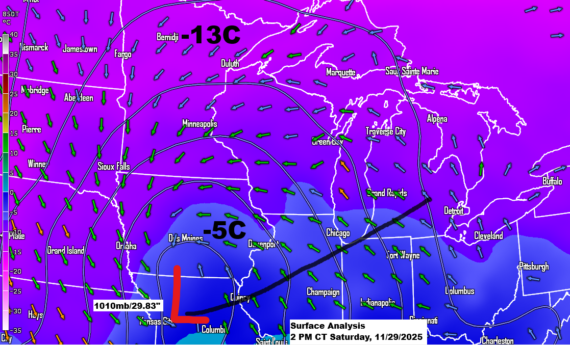
Winds near the surface are out of the northeast this afternoon but will shift more to the north by this evening. However, winds higher up in the atmosphere will remain from the east to northeast through late tonight before shifting to the north early Sunday morning.
Areas of heavier snowfall will likely persist into this evening along parts of the North Shore, including areas of Duluth, before shifting east as lake effect snow impacts the South Shore of Lake Superior tonight through early Sunday morning.
The radar loop ends at 2:12 PM on Saturday, November 29, 2025, with 850mb winds overlaid on the radar.
Leave a Reply