-Greatest 24 hour precipitation total so far this month in Duluth is just 0.14″ on the 3rd.
-Only 3 days this month have had at least 0.10″ of precipitation, the last of which came on the 9th (over 2 weeks ago) so yes it has been a little dry in Duluth this month.
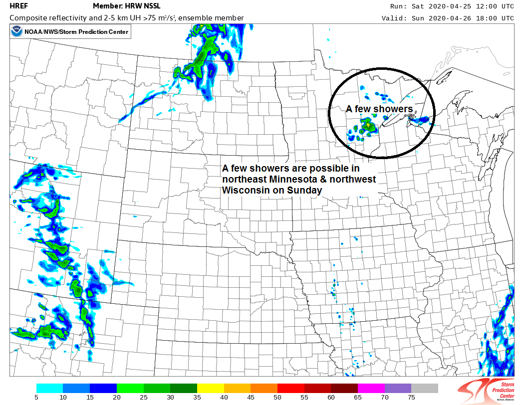
-There are a few rain chances ahead, but how much rain, and how widespread it will be remains to be seen.
-Isolated shower coverage on Sunday, meaning most of us will stay dry, then a more organized batch of rain moves rather quickly across the Northland late Sunday night-Monday morning, exiting to the east by Monday afternoon.
-Highs on Sunday ranging from the mid 50s to mid 60s, except near Lake Superior where highs will range from the upper 30s to middle 40s.
Simulated radar forecast valid from 7 PM Saturday to 1 PM Monday.
Source: 18z NAM-WRF model 4.25.2020; https://weathermodels.com/

It’s been a dry April in most of northeast Minnesota and northwest Wisconsin – Check out how much precipitation has fallen so far this month, thru the 24th.
Brainerd 1.66″ (-0.11″ below normal)
International Falls 0.65″ (-0.49″ below normal)
Duluth 0.42″ (-1.42″ below normal)
Source: https://mrcc.illinois.edu/

Total precipitation, percent of mean for April 2020 (thru the 24th)

Two lows today, both are missing the Northland. Subsidence between the low to our SE and the one to our W results in sinking air, plus you throw in the cool/stable NE wind by Lake Superior and you get lots of sunshine around the big lake today.
One low has been moving south across the eastern Dakotas and western Minnesota today while a stronger system lifts ENE into the Ohio Valley.
Source: Goes-16 imagery 4.25.2020; https://weather.cod.edu/

Scattered showers and isolated thunderstorms in southern/western Minnesota and eastern Dakotas are not moving a whole lot this afternoon. Some are lifting N-NE, others toward the NW and also to the S.
Here’s a look at a radar loop ending at 5:10 PM CT, Saturday, April 25, 2020. Source: https://lab.weathermodels.com/

We’ve got a few chances for rain through the middle of next week with amounts of around a half inch possible over much of the Northland by the middle of next week with even higher amounts possible in eastern Minnesota and northwest Wisconsin.

Still some uncertainty on the track of next Tuesday’s system, this will play a role in how much rain we get up in our area.
GFS and NAM guidance are rather dry as they keep most of the rain to our west and south next Tuesday and Wednesday. Euro has been quite consistent bringing widespread rain to at least southern portions of the Northland while the Canadian and ICON models have been going back and fourth, some runs show rain, other runs flip back toward a drier solution. Stay tuned.
Source: https://www.wpc.ncep.noaa.gov/

Forecast for Duluth and Superior
.Tonight… Breezy. Clear to partly cloudy. Low 30 to 35. Wind east 15 to 25 mph.
.Sunday… Breezy. Partly to mostly cloudy. Isolated showers possible mainly late in the day. High 49 to 54 but cooler near Lake Superior. Wind east 15 to 25 mph.
.Monday… Rain early, some clearing in the afternoon. High 59 to 64 but cooler near Lake Superior. Wind east, becoming northwest 10 to 20 mph.
| Normal temperatures for April 26 High 55 Low 34 Sunrise Sunday 6:01 AM CDT Sunset Sunday 8:13 PM CDT |
Thanks for reading!
Tim
Leave a Reply