5:39 PM Thursday, February 9, 2023
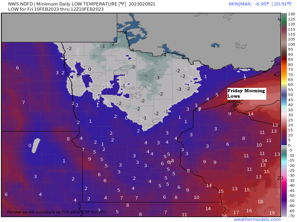
A brief cool down for tonight and Friday with lows tonight ranging from around 10 below to 5 above zero with highs on Friday mainly in the 20s. Highs in the 30s to low to mid 40s are likely this weekend.
Note — 21 subzero nights so far this winter in Duluth compared to 32 subzero nights last winter thru February 8th.
It’s a dry forecast into early next week with some precipitation possible next Tuesday and Wednesday.
Temperatures were running anywhere from -5 to as much as -15 degrees colder in the Northland this afternoon compared to yesterday afternoon thanks to a cold frontal passage last night/earlier today.

Temperatures today are still running above average across the Northland, however, with temperatures this afternoon ranging from the mid 20s in northern Minnesota to the 30s in northeast and east-central Minnesota and northwest Wisconsin.

An active weather pattern is expected next week with two larger scale systems forecast to move out of the Rockies.
The first system late Tuesday-Wednesday of next week looks like it could have more of an impact on our area compared to a second system later next week which looks to pass much farther to the south.
Chances for accumulating snow or rain are increasing in much of the Northland for next Tuesday and Wednesday, but it’s still too early to say whether or not this would be a significant system or more of a minor to perhaps moderate event.

Above average temperatures are expected in the Northland through the middle of next week with colder risks continuing to show up for later next week.
Highs in the mid 30s to low/mid 40s are likely in our area this weekend through early next week.
Euro Ensemble (EPS) model temperature anomaly forecast for February 13-18, 2023
Above average temperatures (orange, red and white)
Below average temperatures (blue, green and purple)

GEFS model is similar to the Euro Ensemble model in showing the greatest temperature anomalies covering the western U.S. (below average) with above average temperatures across the eastern U.S.
The big difference between the GEFS and EPS is across the Northern Rockies to parts of the upper Midwest where the GEFS model is running cooler compared to the EPS model.
GEFS model temperature anomaly trend for February 13-18, 2023.
Above average temperatures (orange and red)
Below average temperatures (blues)

Thanks for reading!
Tim
Leave a Reply