5:10 PM Wednesday, March 20, 2024
Accumulating snow is on the way for parts of the Northland Thursday evening into Friday morning.
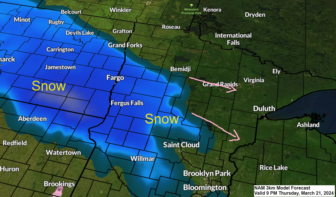
Snow is forecast to develop across mainly southern portions of the Northland Thursday night with most of this snow staying south of a line from around Bigfork to Hibbing toward the Ely and Silver Bay areas.
This system won’t stick around long with snow already coming to an end from west to east by mid-morning on Friday.
Duluth area: Snow begins around 10 PM to Midnight Thursday night. Snow ends by mid to late Friday morning.
Here’s the NAM 3km model simulated radar forecast valid from 7 PM Thursday to 1 PM Friday.
Snow in blue colors.

Winter Weather Advisories are in effect Thursday evening into Friday morning for the areas in purple on the map below.

Highest snow amounts with this system should be south of Duluth with very little snow expected in far northern Minnesota into the Arrowhead.
I’m still forecasting 1 to 2 inches of snow in the Duluth area Thursday night-Friday morning, although I’m leaning toward the lower-end of that forecast range as will likely see a sharp cutoff in the snow on the northern side of this system, and that cutoff line will probably setup somewhere between Hibbing and Duluth.

Thursday’s system will have a very night temperature gradient to work with as will see 850mb temperatures as warm as +16C over western Nebraska to as cold as -15C across far northern Minnesota.

Thanks for reading!
Tim
Leave a Reply