5:39 PM Thursday, July 18, 2024
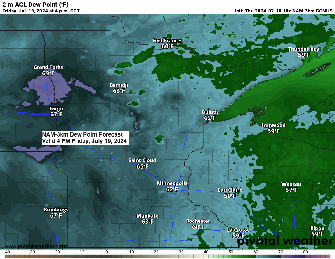
- Expect a slight rise in humidity on Friday and Saturday, with dew point temperatures reaching the mid-50s to mid-60s, peaking on Saturday.
- Isolated showers may occur Friday afternoon and evening, primarily in northern Minnesota.
- There’s an increased likelihood of isolated to scattered showers and a few thunderstorms on Saturday with brief downpours possible.
- A potent backdoor cold front will sweep southward across the region on Saturday, bringing gusty northeast winds in its wake near Lake Superior.
- Scattered showers may occur next Monday and Tuesday.
- Expect highs in the upper 70s to lower 80s from Friday through Sunday, with cooler temperatures anticipated near Lake Superior, particularly on Saturday afternoon.
Note: A record low temperature was matched in Hibbing, Minnesota today. The temperature dropped to 40 degrees, equalling the record low for July 18th, which was first established in 2003.
Low Temperature reports from Thursday morning, July 18, 2024
Source: National Weather Service Duluth, Minnesota
Brimson, MN: 37
Embarrass, MN: 39
2 E Celina, MN: 39
Hibbing, MN: 40
Hayward, WI: 41
2 S Tower, MN: 41
Solon Springs, WI: 41
Orr, MN: 43
Ely, MN: 43
Floodwood, MN: 43
Crane Lake, MN: 43
International Falls, MN: 44
Bigfork, MN: 45
Aitkin, MN: 45
Cloquet, MN: 45
McGregor, MN: 46
Butternut, WI: 46
Duluth Airport: 48
Brainerd, MN: 48
This afternoon, temperatures rose pleasantly, generally reaching the mid to upper 70s throughout the Northland, with the Duluth Harbor notably hitting 81 degrees.

This afternoon’s temperatures were approximately 5 to 10 degrees higher than those of Wednesday afternoon.

At present, the forecast for Friday afternoon shows minimal shower activity, and it appears that Duluth and Superior will remain dry throughout Friday and into the night.
HRRR model simulated radar forecast valid from 12 PM Friday to 12 AM Saturday.

Smoke from Canadian wildfires is expected to move southward into the Northland and other regions of the upper Midwest from Friday to Saturday. The majority of this smoke will likely stay elevated, causing hazy skies.
HRRR model vertically integrated smoke forecast valid from 1 PM Friday to 1 PM Saturday.

Thanks for reading!
Tim
Leave a Reply