6:28 PM Monday, February 24, 2025
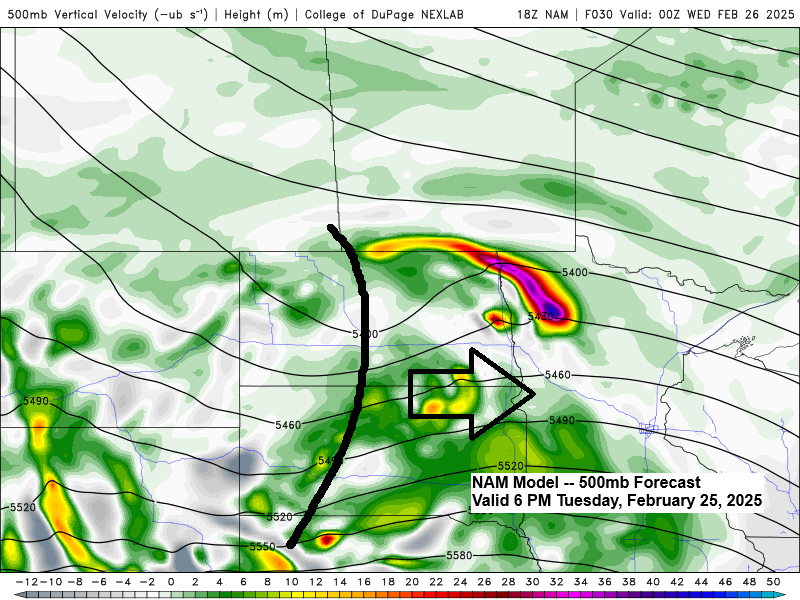
A fast-moving system will move east from the Dakotas on Tuesday, reaching the Northland Tuesday night into early Wednesday morning. This system may bring some snow and mixed precipitation to parts of the Northland during this time. Uncertainty is higher than usual in the computer models for a system about a day away, but one thing seems pretty certain: snowfall amounts should stay light with this system, though there could still be enough snow to cause some slippery driving conditions late Tuesday night/Wednesday morning.

NAM 3km model simulated radar forecast valid 6 PM Tuesday to 9 AM Wednesday.

Today’s Highs (2/24/2025)
Ashland, WI: 50
Brainerd, MN: 49
Duluth, MN: 43
Hibbing, MN: 42
International Falls, MN: 41
-The high of 43 in Duluth today is the warmest temperature of the year so far, tied with January 30th.
– High of 50 in Ashland today. The average date for the 1st 50 is March 9th, so about 2 weeks earlier than normal for the 1st 50 this year.
More wind today, peak wind gusts from today
Duluth: 41 mph
Ashland: 41 mph
Hibbing: 33 mph
International Falls: 32 mph
Brainerd: 32 mph
Temperatures stay on the mild side for the rest of the week with highs mainly in the 30s to lower 40s through Friday, so even if some parts of the area get some new snow Tuesday night, it likely won’t stick around long.
Another mild day with snow melting in the area today. Most temperatures were in the 40s this afternoon, with Aitkin reaching 50 degrees at 3 PM.

Early last week, cold Arctic air affected the northern Plains and upper Midwest; now, we’re seeing thunderstorms moving east-southeast from eastern South Dakota into far southwest Minnesota this afternoon.
Clipper Friday
There are notable differences in the weather models about the track of a late-week clipper system.
The GFS model predicts widespread snow in the Northland with a farther south storm track, but it is the outlier, as most models suggest a more northern path with just a few rain and snow showers on Friday and minimal snow accumulation. Stay tuned.

More information on Friday’s system and an update on the system for next week can be found below.

Subscribe to continue reading
Become a paid subscriber to get access to the rest of this post and other exclusive content.