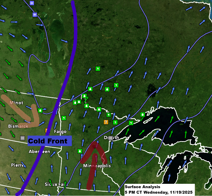
Scattered rain showers will continue in northeast Minnesota and northwest Wisconsin tonight and into Thursday, with a chance of some light snow mainly in far northern Minnesota. Any snow or rain that does fall should be minimal, with rain totals around 0.01 to 0.10 inches. This spotty precipitation is due to a cold front moving through the Northland tonight into early Thursday morning.
Patchy dense fog is also expected in the Northland tonight and into Thursday morning, much like what we experienced today.
HRRR model simulated radar forecast through 7 PM Thursday.

Next week, the pattern looks like it might start to shift a bit. Whether it actually does remains to be seen, but the computer models are starting to agree more on some kind of change in the pattern.
A system moving in from the west early next week could bring some precipitation to the Northland around Tuesday and Wednesday (November 25-26). It’s likely to start as rain since temperatures look warm enough for now, but colder air behind the system could cause it to change to snow, depending on how much moisture sticks around. If snow does fall, the most likely time would be Tuesday night or Wednesday. Right now, it doesn’t seem like the Northland will see a major snow or rain event since the main low is tracking north of us, but there could still be enough snow to make travel slippery in some areas Tuesday night or Wednesday.

Through the middle of next week, the most active weather will stretch from the southern and central Plains to the Ohio Valley, along with parts of the Southwest and Northwest U.S. This is due to two distinct storm tracks—one linked to the southern branch of the jet stream and the other following the northern branch.
Precipitation totals could increase slightly in parts of the northern Plains and upper Midwest, but that will depend on how the system tracks in the early to middle part of next week.

Forecast models are lining up on next week’s weather, with a mild start expected in northeast Minnesota and northwest Wisconsin. By mid to late week, colder air should move in. The exact temperature drop is still uncertain, but it’s clear the week will end on a chillier note.
The maps below show the period from November 26 to December 1, 2025, with blue areas representing below-average temperatures and orange and red areas indicating above-average temperatures.


Leave a Reply