A major winter storm is set to roll through the Northland from tonight into Thursday morning, with the worst conditions expected along the North Shore of Lake Superior in northeastern Minnesota.
- Blizzard warnings are in effect for the North Shore of Lake Superior from late tonight until noon on Thursday.
- Whiteout conditions are expected, making travel dangerous and potentially life-threatening along the North Shore, especially on Highway 61.
- Winter Storm Warnings and Advisories are in effect for other parts of northeast Minnesota and northwest Wisconsin until Thursday morning.
- By Thursday morning, the North Shore of Lake Superior could see snowfall totals of 1 to 2 feet, with some spots potentially getting over 30 inches.
- Late tonight through Wednesday morning, snowfall along the North Shore of Lake Superior could reach rates of 1 to nearly 3 inches per hour.
- Strong east to northeast winds ranging from 25 to 45 mph, with gusts reaching up to 60 mph, are expected near Lake Superior, particularly along the North Shore, from tonight through Wednesday.
- Scattered power outages are possible along the North Shore from tonight into Wednesday, caused by high winds and the weight of snow on tree limbs that could bring down power lines.
I had to use the lime green color on my updated snowfall forecast, and I’m not sure I’ve ever used it before—or if I have, it’s definitely a rare occurrence.
…Here’s what I’m forecasting for snowfall totals through 7 AM Thursday…
- Snowfall along the North Shore of Lake Superior is expected to range from 18 to 30 inches, with some spots possibly seeing over 30 inches.
- In the Duluth area, snowfall is expected to range from 7 to 12 inches, with heavier totals of up to 18 inches just northeast of the city.
- Expect 2 to 4 inches of snow in far northern Minnesota, including International Falls, as well as from Aitkin through Moose Lake and Solon Springs to near Ashland.
- Ely, Hibbing, Bigfork, Grand Rapids, and McGregor are forecast to get between 4 and 7 inches of snow.
- Expect snowfall totals ranging from a trace to 2 inches in Brainerd, Sandstone, and Hayward.
- This snowfall will have a high moisture content, making it much wetter than many of the events we’ve seen this winter, which mostly brought very dry, fluffy snow.
Note: Snow totals in the Duluth area might end up on the lower side of that range if we get more of a wintry mix tonight.

…Ice Accumulation Forecast…
Areas of freezing rain could lead to ice accumulations ranging from a light glaze to 0.10 inches tonight into Wednesday morning over parts of northeast and east-central Minnesota and far northern Wisconsin.

Euro model simulated radar forecast through 6 AM Thursday.

Euro model wind gust forecast through 6 AM Thursday.
Note: Strong east to northeast winds in Duluth are expected to persist into early Wednesday evening before easing somewhat by Thursday morning.

…Winter Weather Headlines…


…Powerful winds across Lake Superior…
Storm and gale warnings are up for western Lake Superior tonight and Wednesday, with northeast winds blowing 45 to 55 knots. In ice-free spots, waves might climb as high as 7 to 10 feet.

The weather pattern is very active right now.
Goes-19 water vapor loop ending 5:15 PM CT Tuesday, February 17, 2026.

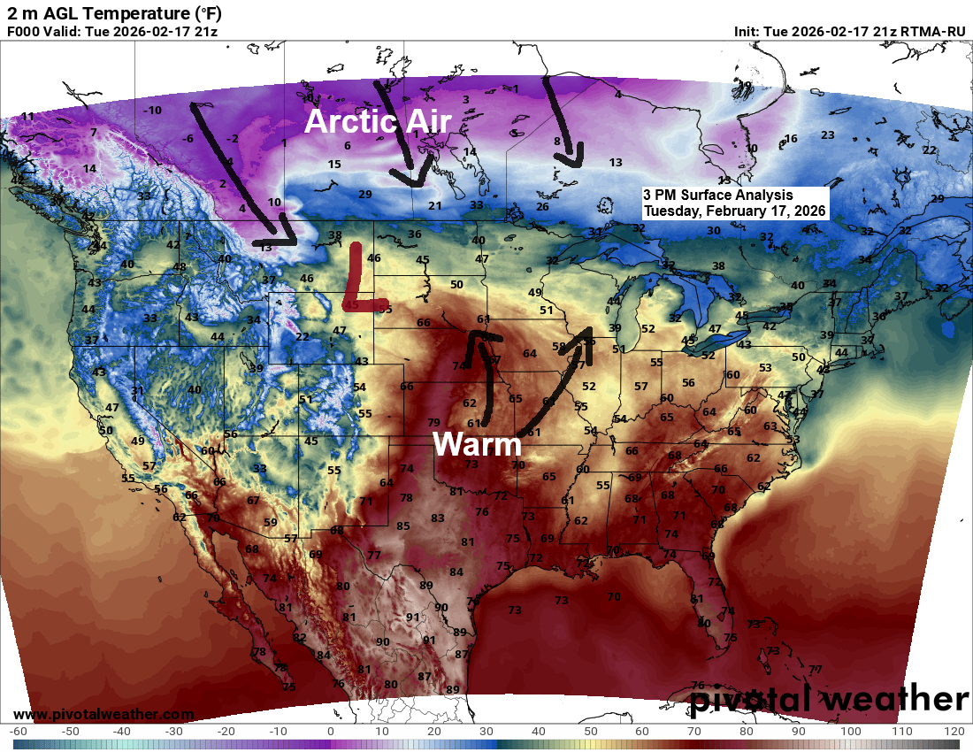
A deep low-pressure system near Sioux Falls, South Dakota, early this evening will slowly move northeast toward central Minnesota on Wednesday, then head east into northwest Wisconsin before weakening by early Thursday morning. At the same time, strong high pressure is centered near Hudson Bay, Canada. The tight pressure gradient between the low and high is creating very windy conditions, especially around Lake Superior tonight and into Wednesday.

Strong moisture transport continues to feed into the approaching low from the southwest tonight.

Powerful upper-level winds reaching up to 160 knots are surging northeast from the southwestern U.S. tonight, along the southeast side of the mid to upper-level trough.

Leave a Reply