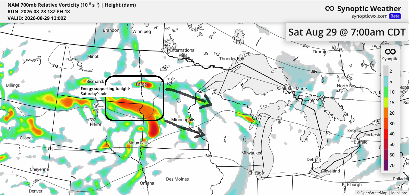
A frontal boundary will stay nearly stationary this weekend, extending from the Dakotas to southern Minnesota, well south of the Northland. South of this front, conditions will become increasingly muggy, with dew points reaching the 70s, while north of the boundary, dew points are expected to remain in the 50s and 60s. The highest humidity will persist south of the Northland throughout the weekend.
Expect highs in the 70s around most of the Northland this weekend, but it’ll be cooler—around the 60s—closer to Lake Superior thanks to those east winds. You might also see some low clouds or fog rolling in at times.
Expect occasional showers and thunderstorms this weekend along the southern boundary, with scattered rain likely farther north across northeast Minnesota and northwest Wisconsin.

If you’d like to support this weather blog, you can donate below.
Make a one-time donation
Make a monthly donation
Make a yearly donation
Choose an amount
Or enter a custom amount
Your contribution is appreciated.
Your contribution is appreciated.
Your contribution is appreciated.
The first round of rain later this evening, continuing into Saturday, is expected across central Minnesota and west-central Wisconsin, with totals of a quarter to half an inch or more by Saturday afternoon. To the north, rain will be more scattered and less organized, resulting in lower totals generally under a quarter of an inch in northeast Minnesota and far northern Wisconsin, including the Lake Superior region and the Twin Ports.

Showers will be most widespread overnight into Saturday morning, gradually diminishing by Saturday afternoon.
HRRR model radar forecast through 7 PM on Saturday.
Leave a Reply