5:32 PM Monday, March 3, 2025
Wintry weather returns to parts of the Northland the next few days.

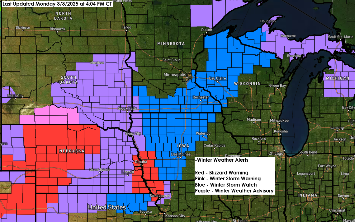
- Some rain showers are expected in parts of east-central Minnesota and northwest Wisconsin tonight, with some patchy freezing rain possible in northeast Minnesota.
- Rain or a wintry mix on Tuesday switches over to all snow from northwest to southeast in northeast Minnesota during the day, and this changeover to all snow occurs in northwest Wisconsin on Tuesday evening.
- Snow tapers off from west to east on Wednesday.
- Snowfall rates could reach a half inch to an inch per hour late Tuesday night through Wednesday morning in parts of northwest Wisconsin.
- Northerly winds increase with gusts of 15 to 30 mph from Tuesday into Wednesday, with gusts higher than 35 mph possible, especially from Tuesday night into Wednesday.
- Areas of blowing snow Tuesday night and Wednesday in parts of northeastern Minnesota and northwestern Wisconsin.
From a dynamics view, this looks like a strong system with two jet streaks (areas of high winds) and a trough moving northeast into the upper Midwest, which becomes more negatively tilted as it leaves the Plains. There will be strong lift and deep moisture to cause precipitation in parts of the upper Midwest through Wednesday.

Here’s my updated snowfall forecast as of late Monday afternoon.
Less snow is expected in the west-northwest, with more snow further east.
I increased snow totals in the Duluth metro area to between 3 and 6 inches, but I think it will be closer to 3 to 4 inches.
This snow will begin wet but may become drier and fluffier by late Tuesday night and Wednesday morning.
Note: Additional changes to this forecast are possible over the next 12-18 hours. Check back for updates.

Ice Potential
There is a chance for some freezing rain in parts of northeast Minnesota late tonight and Tuesday morning, and in parts of northwest Wisconsin late Tuesday afternoon and evening. Significant icing is not expected with this system, but there may be enough ice accumulation to cause travel difficulties in parts of the Northland since it doesn’t take much ice to mess up the roads and sidewalks.

Make a one-time donation
Make a monthly donation
Make a yearly donation
Choose an amount
Or enter a custom amount
Your contribution is appreciated.
Your contribution is appreciated.
Your contribution is appreciated.
DonateDonate monthlyDonate yearlyStorm Track
There haven’t been any drastic shifts north or south in the storm track over the last few days.
Low pressure over eastern Colorado this afternoon will move across Kansas on Tuesday, reaching northern Missouri Tuesday evening and north central Illinois Wednesday morning before exiting over Lake Huron Wednesday evening. This low is expected to deepen to around 981-983mb (28.97″-29.03″) as it travels across the Midwest to the eastern Great Lakes.

Wind Forecast
NAM 3km model wind gust forecast valid 7 AM Tuesday to 6 PM Wednesday.

Widespread high wind alerts (brown shaded areas on map) in effect the next few days.

Precipitation Types
Here’s a look at the European model precipitation type forecast at the specific times on the maps below.


And here’s the European model simulated radar forecast through 6 PM Wednesday.
Snow – Blue
Rain – Green
Wintry Mix – Pink

Thunderstorm Potential
There may be some thunderstorms on Tuesday, mainly from south central Minnesota to north central Wisconsin.

Temperatures
Behind the storm comes another shot of colder air as we will see temperatures in the 20s and lower 30s in the Northland on Wednesday.

Temperatures Wednesday night/Thursday morning are forecast to drop to the single digits and teens in the Northland.

Satellite imagery
A strong area of low pressure of around 989 mb over eastern Colorado this afternoon will deepen further as it lifts northeast toward northern Illinois by around dawn on Wednesday.
Goes-16 water vapor loop ends 3:21 PM CT Monday, March 3, 2025.
Thanks for reading!
Leave a Reply