Northland Storm Reports from Friday, July 26, 2019
Source: https://www.weather.gov/dlh/
10:30 PM: THUNDERSTORM WIND GUST — 55 mph. La Pointe.
9:55 PM: HAIL — 2.50 inch (tennis ball size hail) 3 N Washburn, WI (Bayfield County)
8:41 PM: MARINE THUNDERSTORM WIND — 59 mph. 13 NE Sand Bay, WI (Ashland County) Report from Devils Island, WI.
8:20 PM: HAIL — 1.50 inch (ping pong ball size hail) 2 NNE Two Harbors, MN (Lake County)
8:19 PM: THUNDERSTORM WIND GUST — 52 mph. 4 W Two Harbors, MN (Lake County)
8:15 PM: HAIL — 0.50 inch. 2 NW Two Harbors, MN (Lake County)
8:06 PM: THUNDERSTORM WIND DAMAGE — 2 ENE Lester Park, MN (St. Louis County) Uprooted tall pine tree fell on top of a house.
8:01 PM: HAIL — 0.25 inch. 3 SW Lester Park, MN (St. Louis County)
8:00 PM: HAIL — 0.50 inch. 2 E Hermantown, MN (St. Louis County)
7:59 PM: MARINE THUNDERSTORM WIND — 39 mph. 13 NE Sand Bay, WI (Ashland County) Report from Devils Island, WI.
7:40 PM: THUNDERSTORM WIND DAMAGE — 5 N Two Harbors, MN (Lake County) Power line knocked down north of Two Harbors on Forest Highway 15.
7:34 PM: HAIL — 1.00 inch (quarter size hail) 6 NW Castle Danger, MN (Lake County)
7:04 PM: THUNDERSTORM WIND GUST — 42 mph. 5 E Sea Gull Lake, MN (Cook County)
6:33 PM: THUNDERSTORM WIND DAMAGE — 4 ESE Sawbill Lake, MN (Cook County) Trees knocked down near Baker Lake Campground on the Grade Road.
6:20 PM: HAIL — 0.25 inch. 12 WNW Isabella, MN (Lake County)
6:15 PM: HAIL — 0.25 inch. 7 SE Sea Gull Lake, MN (Cook County)
6:12 PM: HAIL — 1.00 inch (quarter size hail) 6 ENE Makinen, MN (St. Louis County)
6:07 PM: THUNDERSTORM WIND GUST — 45 mph. 5 E Hibbing, MN (St. Louis County)
6:04 PM: THUNDERSTORM WIND GUST — 50 mph. 5 S Ely, MN (St. Louis County)
5:51 PM: HAIL — 1.25 inch (half dollar size hail) 3 SE Eveleth, MN (St. Louis County)
5:49 PM: HAIL — 0.70 inch. 6 SW Finlayson, MN (Pine County)
5:15 PM: HAIL — 0.25 inch. Soudan, MN (St. Louis County)
5:03 PM: HAIL — 0.25 inch. 4 N Chisholm, MN (St. Louis County)
5:01 PM: THUNDERSTORM WIND DAMAGE — 1 SSE Tower, MN (St. Louis County) A 18 inch diameter tree downed. In addition, a few 100 year old tops of pine trees knocked off.
4:53 PM: HAIL — 1.25 inch (half dollar size hail) 1 ENE Angora, MN (St. Louis County)
4:49 PM: HAIL — 0.70 inch. 5 N Tower, MN (St. Louis County)
Weather Tidbits for Duluth, Minnesota
*22 days so far this month with a high temperature of at least 80 degrees. July 2019 is in 4th place for most number of 80 degrees in the month of July. Note: The record is 25 days set in July 2012. Records for Duluth date back to 1874.
*0.38 inches of rain at the Duluth Airport on Friday, July 26, this is the first time since June 30 with a quarter inch or more of rain.
…Weather Summary…
Rain is on the way Sunday afternoon into Sunday night, but there are differences showing up in the models as to where the axis of greatest rainfall sets up, underneath this band (where it sets up) rain totals of 1 to 2 inches with locally higher amounts will be possible.
The European model (shown below) has the heaviest rainfall affecting much of central into northeast Minnesota and northwest Wisconsin including Duluth and Superior, other computer models like the RAP and HRRR have the heaviest rain setting up farther south, targeting areas south of Duluth and Superior.
Duluth’s rainfall total for July (thru the 27th) is running -2.30 inches below normal, and the rainfall total since June 1 is running -2.43 inches below normal. There’s a chance that we could erase a good portion of this rainfall deficit with the rain event that could hit later in the day Sunday. Will see what happens.
Source: https://weathermodels.com

There is a marginal risk of severe thunderstorms Sunday across southern portions of the Northland (blue shaded area on map) the risk area includes the Hinckley, Pine City and Sandstone areas, east to the Hayward Lakes.
Hail and gusty winds are the main threats in the risk area if a few strong to severe thunderstorms develop on Sunday.

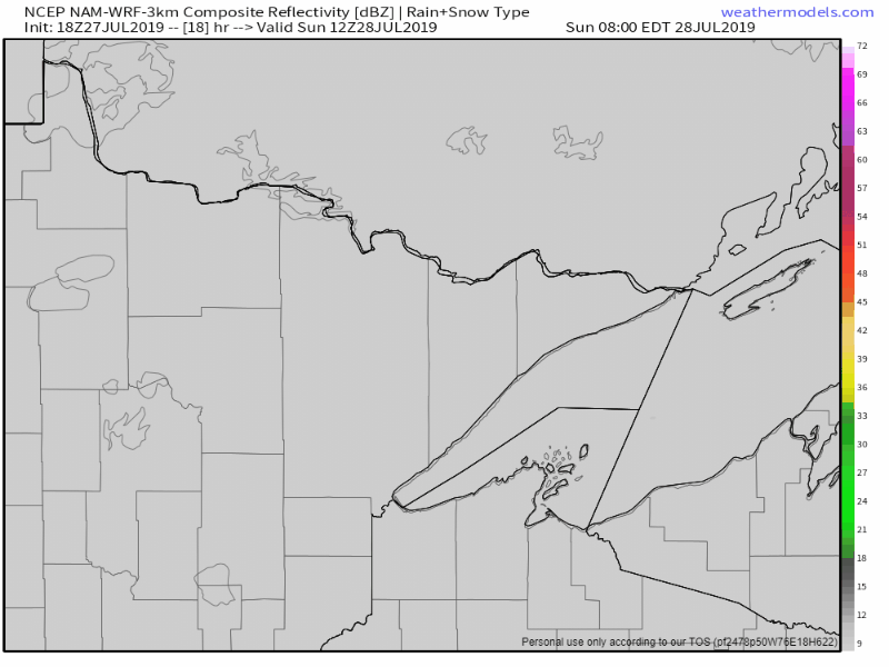
Here’s a look at the radar forecast valid from 7 AM Sunday to 7 AM Monday per 18z NAM-WRF model
Sunday starts out dry, but rain is forecast to move into western-southern sections of the area during the late morning/early afternoon hours, then the rain is forecast to spread farther northeast through late Sunday afternoon. The rain that is expected on Sunday looks like a fairly widespread event unlike the past several events where the rain has been more scattered.
Rain should linger into Sunday evening, but should diminish from southwest to northeast later in the night.
Note: Rain could begin in Duluth and Superior in the 3-5 PM Sunday time frame.
Computer models are showing fairly impressive PWAT values or Precipitable water of 1.50 to around 1.90 inches on Sunday, so some heavier downpours are a possibility.
Source: https://weathermodels.com

Low temperature forecast for Sunday morning, July 28.
A beautiful night on the way with lows ranging from the middle 50s to lower 60s under clear to partly cloudy skies.
Source: https://graphical.weather.gov

High temperature forecast for Sunday, July 28.
Clouds will be on the increase during the morning, but temperatures should warm quickly, reaching the lower to possibly middle 80s by midday. Rain spreads from southwest to northeast during the afternoon, and temperatures will fall a bit as the rain begins to fall.

Tim
Leave a Reply