6:14 PM Sunday, April 10, 2022
A very strong jet stream continues to blast SE off the Pacific Ocean and into the Western U.S.
Two strong low-pressure systems will eject NE out of the Rockies and Plains this week thanks to this active Pacific jet stream.
The first system lifts quickly NNE out of Iowa and through Minnesota tonight, while a second and much stronger system ejects NE out of the Rockies and Plains in the Tuesday-Thursday time frame.
Goes-16 water vapor image from Sunday afternoon, April 10, 2022.

And here’s a loop of the above image.

Surface low over far southern Minnesota late this afternoon will lift NNE tonight as it passes near Duluth early Monday morning.

Tonight’s system is quite dynamic but will move through quickly.
As forcing intensifies with the approaching low will see precipitation become more widespread across north-central Minnesota into the Arrowhead this evening through early Monday morning.
Bands of moderate to heavy precipitation rates are possible in the aforementioned areas late tonight, and as mid-level lapse rates steepen overnight there is even a chance albeit a slight one for there to be an isolated thunderstorm (green shaded area on map)

Precipitation will be in the form of rain across north-central Minnesota this evening, but as dynamic cooling occurs this will cause the rain to mix with and switch over to a few hours of wet heavy snow after Midnight tonight.
Precipitation across north-central and northeast Minnesota ends from SW-NE by mid-morning Monday.
Simulated radar forecast thru 10 AM Monday
Rain (green)
Snow (blue)

How much snow actually accumulates in northern Minnesota late tonight remains to be seen, since this will depend on how soon the rain changes to snow. This is a quick moving storm, so a later changeover to snow would lead to lower snow amounts from what the map shows below. Snowfall intensity will also determine how much snow accumulates since the ground is warmer, but the timing of this system (cooler part of the day) plus the potential that will see a period of moderate to heavy snow would help produce some slushy snow accumulation on roads and sidewalks early Monday morning.

Precipitation totals with tonight’s system will be greatest across northern Minnesota, while lighter amounts of precipitation are expected farther south including for Duluth and northwest Wisconsin.

Two rounds of gusty winds associated with the first storm tonight through Monday morning.
Winds will start out from the east this evening then will shift to the west-northwest from south to north across the Northland Monday morning.
For Duluth — ENE winds gusting 25 to 35 mph this evening, winds become WNW on Monday (after 4 AM) with gusts of 25 to 45 mph from around 4 AM to 11 AM Monday.
Wind gust forecast thru 7 PM Monday.

In wake of tonight’s system is another fast-moving piece of energy which is forecast to move east through the upper Midwest Monday afternoon/evening. Cold temperatures aloft coupled with milder temperatures near the surface should help build up some weak instability and this could cause a few showers and possibly even an isolated thunderstorm to develop in parts of the Northland Monday afternoon.
Simulated radar forecast valid 1 PM Monday to 1 AM Tuesday.

A large temperature contrast in Minnesota today.
4 PM temperatures ranged from the upper 50s to upper 60s across southern into parts of eastern Minnesota to the mid 30s to low 40s across northern Minnesota and near Lake Superior.

POWERFUL SPRING STORM THIS WEEK
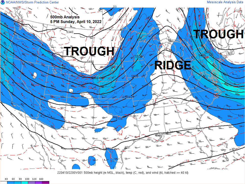
The mid and upper-level low associated with this week’s storm will be quite anomalous in terms of its strength for mid-April. One way to look at how strong a system will be is by the 500mb height anomalies.
The forecast for Wednesday morning (7 AM) currently shows a 500mb low at -4.4 sigma with a 500mb height of 524m, compared to the average in the Northern Plains which is 557m in mid-April, that is quite an impressive system!

There is no doubt that will be dealing with a lot of wind across the upper Midwest with the storm this week, with the strongest winds expected to hit Tuesday evening through Wednesday, and again Thursday into Friday.
Winds will start out from the east Tuesday afternoon through Wednesday with wind gusts of 20 to 30 mph in the Northland, but much stronger wind gusts of 40 to 50 mph or higher are possible near Lake Superior.
Winds Thursday and Friday will become NNW with a potential for strong wind gusts of 30 to 40 mph or higher.
Wind gust forecast valid 1 PM Tuesday to 7 PM Friday.

Still looks like much of the Northland will pick up an inch to two inches of precipitation through Friday.
The majority of this precipitation looks like it will be in the form of rain, although a changeover to snow is possible Wednesday, but more so Thursday and Friday, but how much snow accumulates in the Northland is very uncertain at the moment.

Winter Storm Watch (blue area on map) covers most of North Dakota into far northwest Minnesota from Tuesday through early Friday.

Snowfall storm totals of 12 to 24 inches+ are possible in parts of North Dakota into far northwest Minnesota from Tuesday through early Friday.

Severe thunderstorms including a risk for some tornadoes is in the forecast for Tuesday across the Central Plains (orange and yellow areas on map) with a lower risk for severe weather extending north into southern Minnesota and the southern half of Wisconsin (darker green area on map)
A few thunderstorms are also possible in parts of the Northland from Tuesday night into Wednesday if we can get enough of a northward push of elevated CAPE, but severe weather is not expected this far north.

Thanks for reading!
Tim
Leave a Reply