7:38 PM Sunday, May 1, 2022
- Scattered rain and drizzle will finally come to an end later tonight.
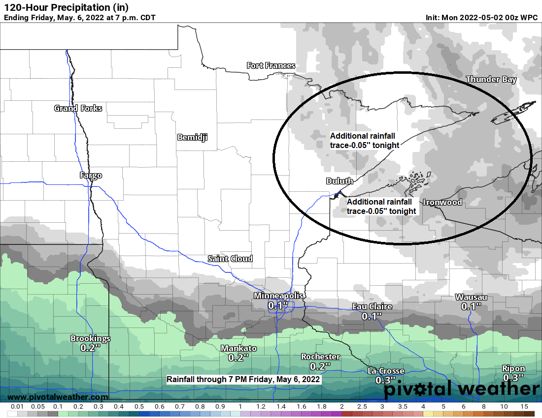
- Mainly dry in the Northland for the next several days with a more active pattern possibly returning around May 8th.
- A cool Monday ahead in the Northland with highs in the 40s to around 50, but a warming trend follows for the rest of the week with highs in the 50s on Tuesday and Wednesday and in the 60s from Thursday through Saturday, we might even see a 70-degree temperature in the Northland by the end of the week.
- Mostly cloudy skies Monday with more sun returning on Tuesday.
Rainfall Totals from Friday, April 29 through Sunday, May 1, 2022.
Brainerd, MN: 1.20″
Duluth Airport: 0.81″
Ashland, WI: 0.72″
Hibbing, MN: 0.64″
International Falls, MN: 0.39″
72-Hour Precipitation Analysis ending 2 PM Sunday, May 1, 2022.

Nemadji River along Highway 23 in southeastern Carlton County Minnesota.
May 1, 2022.


A cool start to the week will be followed by a warming trend with high temperatures in Duluth climbing into the middle 50s to around 60 away from Lake Superior from midweek through next weekend but temperatures will be cooler near Lake Superior due to an easterly wind which will develop again after Monday.
Note: Normal highs from May 2nd through May 11th range from 57 to 61 degrees, with normal lows ranging from 36 to 40 degrees.
The last time Duluth had a high temperature of at least 60 degrees was on November 6th. I do think will get our first 60 degree high of the year sometime between May 7th-10th.

A strong area of low pressure continues to slowly lift east-northeast across upper Michigan while slowly pulling away from the Northland late today.
Goes-16 visible satellite loop from Sunday, May 1, 2022.

Goes-16 water vapor loop from Sunday, May 1, 2022.

Thanks for reading!
Tim
Leave a Reply