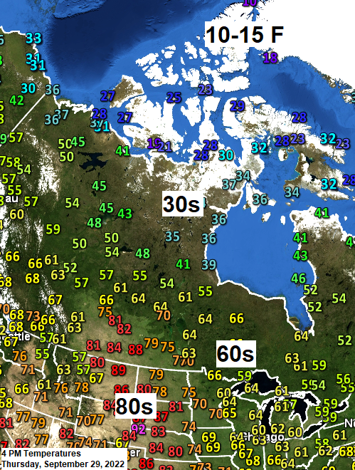
5:18 PM Thursday, September 29, 2022
-A milder southerly flow will continue over the Northland out ahead of a cold frontal boundary which will extend from south central Saskatchewan to north of Lake Superior through late Friday.
-This southerly flow will maintain a weak warm air and moisture advection pattern across the Northland through Friday with a chance for a few rain showers, but no widespread rain is expected in our area through early next week.
-A gusty easterly wind develops Saturday as the aforementioned cold front sags south of the Northland. Those easterly winds will usher in cooler temperatures near Lake Superior with highs in the 50s Saturday and Sunday, while temperatures farther inland remain in the 60s.
18z NAM 3km model radar forecast through 7 PM Friday.

Here’s the setup for Saturday.
Cold front (blue) with low pressure (red L) over central South Dakota, and strong high pressure (blue H) near James Bay Canada — This setup will lead to gusty ENE winds near Lake Superior with wind gusts to 30 mph possible on Saturday. There’s also a chance that we could see some low clouds/drizzle near Lake Superior if there is enough moisture in place on Saturday.

Drought continues to expand in Minnesota and Wisconsin.
Drought update for September 27, 2022
Minnesota
4% of the state is in Severe Drought, unchanged from last week.
22% of the state is in Moderate Drought, up from 14% last week.
54% of the state is Abnormally Dry, up from 41% last week.

Wisconsin
3% of the state is in Severe Drought, up from 2% last week.
11% of the state is in Moderate Drought, up from 9% last week.
35% of the state is Abnormally Dry, up from 25% last week.

1-month Drought Monitor Class Change in the Northland
September 27, 2022, compared to August 30, 2022
Yellow and orange – 1 to 2 Class Degradation
Gray – no change
Green – 1 Class Improvement

Here’s a look at the 1-month Drought Monitor Class Change centered on the Midwest.
September 27, 2022, compared to August 30, 2022.

Soil moisture is running 0% to 10% of normal along the South Shore of Lake Superior west to Duluth (dark red, red and orange colors)

A larger view of current soil moisture conditions across the region.
Reds – Dry
Greens – Wet

A strong trough over the northwest U.S. today will move slowly to the east through this weekend — This system will bring significant amounts of rain and some snow to the Rockies over the next few days. Eventually will see this system move into the Northern Plains early next week but as it does so it will also weaken quite a bit.
Goes-16 water vapor loop from Thursday, September 29, 2022 (loop time ends 4:26 PM CT)

European model snowfall forecast through Sunday morning, October 2, 2022.

HURRICANE IAN UPDATE (5PM ET, Thursday, September 29, 2022)
Source: National Hurricane Center
Location: About 240 miles south of Charleston, South Carolina. About 335 miles south-southwest of Cape Fear, North Carolina.
Maximum Sustained Winds: 75 mph (category 1 hurricane)
Present Movement: north-northeast at 10 mph
Minimum Central Pressure: 986 mb/29.12 inches
*Ian will approach the coast of South Carolina on Friday. The center will move farther inland across the Carolinas Friday night and Saturday.
*Ian is forecast to rapidly weaken over the southeast U.S. late Friday into Saturday.
Hurricane-Force winds extend outward up to 45 miles from the center, and tropical-storm force winds extend outward up to 415 miles.

Peak Storm Surge Forecast

Ian Rainfall Forecast through Sunday evening (8 PM ET) October 2, 2022.

Goes-16 satellite loops of Hurricane Ian (loop times end 5:52 PM ET, Thursday, September 29, 2022)


Thanks for reading!
Tim
Leave a Reply