5:13 PM Friday, November 18, 2022
An early season arctic air mass will remain over the Northland through early Sunday morning.
A reinforcing shot of cold air arrives tonight as a cold front slices through the Northland bringing some light snow and flurries to the area through Saturday. This should be a fluffy snow with the cold air already in place, but this snow shouldn’t amount to much with most areas seeing <1″ of snow by Saturday morning.
High temperatures on Saturday will be in the teens to lower 20s which is very similar to the highs we saw on Friday. The coldest night will be Saturday night, this is when will see widespread single digit temperatures in the Northland with even a chance for a few subzero temperatures at a few locations.
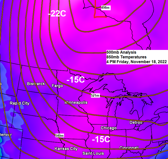
A lot of cold arctic air covering central/northern Canada today with temperatures as cold as the -20s and -30s this afternoon.

Heaviest snowfall through Saturday night will be focused along the South Shore of Lake Superior in northwest Wisconsin (Hurley, Upson and Gile areas) with up to another half-foot of snow possible.
There is also a chance for a couple inches of snow downwind of Lake of The Woods (west of International Falls) through Saturday.

18z NAM 3km model radar forecast through 6 PM Saturday.
Snow in blue

| 24-Hour Snowfall Reports ending Friday morning, November 18, 2022 Source: NWS Duluth, MN Gile, WI: 24.5″ Hurley, WI: 19.0″ Iron River, WI: 9.0″ 1 SSE Oulu, WI: 9.0″ 3 N Maple, WI: 8.0″ 5 S Iron River, WI: 7.5″ 2.0 E Poplar, WI: 7.3″ Upson, WI: 6.5″ 1.2 N Bayfield, WI: 6.5″ 1 NNE Red Cliff, WI: 6.0″ 3 S Cloverland, WI: 6.0″ 2 NNE Wentworth, WI: 5.5″ 1 NNW Lake Nebagamon, WI: 5.5″ |
Incredible lake effect snow event coming off Lake Erie and Lake Ontario through this weekend.
Here’s how much snow has fallen so far.
54″ of snow reported at Orchard Park, NY (home of the Buffalo Bills)

Additional snowfall accumulations of 1 to 3 feet are expected in the most intense/persistent lake effect snow band/s through Sunday afternoon.

Thanks for reading!
Tim
Leave a Reply