6:23 PM Tuesday, December 6, 2022
Busy times ahead for forecasters
- Another quick hitting snow Wednesday
- Storm targets the Midwest Thursday-Friday bringing some snow/mix precipitation to southern Minnesota
- Snow chances in the Northland Saturday (inverted trough type setup)
- A large/strong system possible next week
Today’s (Tuesday) snow event ended up a little further south compared to where most of the computer models had it setting up, and a similar occurrence is likely for Wednesday’s snow event with computer models shifting Wednesday’s snow a little further south compared to prior model runs.
East-central Minnesota and northwest Wisconsin is expected to see the bulk of the snow on Wednesday, with lesser amounts of snow expected farther north including for Duluth and the Highway 2 corridor in northeast Minnesota, with that said, expect another tight snowfall gradient on Wednesday meaning any slight shift north/south in the area of snow could change the snowfall gradients just a bit.
Here’s my snowfall forecast for Wednesday.

For Duluth — Some snow is possible on Wednesday from around 6 AM to 11 AM followed by some sunshine for Wednesday afternoon.
18z NAM 3km model radar forecast valid 3 AM Wednesday to 3 PM Wednesday (snow in blue)

Snowfall Reports from Tuesday, December 6, 2022
Source: NWS Duluth, MN
7 WSW Pine River, MN: 6.0″
2 NNE Duluth, MN: 3.5″
5 WSW Waukenabo, MN: 3.5″
Wright, MN: 3.0″
Duluth, MN: 2.8″ (Official NWS total) SLR 16.5:1
3 NW Duluth, MN: 2.0″
1 NNE Cloquet, MN: 1.8″
3 N Mahtowa, MN: 1.3″
International Falls, MN: 0.7″
A frigid start to the day in northern Minnesota.
Low Temperature reports from Tuesday morning, December 6, 2022
| Birchdale, MN: -21 F Ash Lake, MN: -20 F International Falls, MN: -19 F Crane Lake, MN: -15 F Littlefork, MN: -15 F Effie, MN: -13 F Orr, MN: -13 F 2 SE Silver Bay, MN: -12 F Northome, MN: -11 F Bigfork, MN: -11 F Cook, MN: -11 F Ely, MN: -8 F |
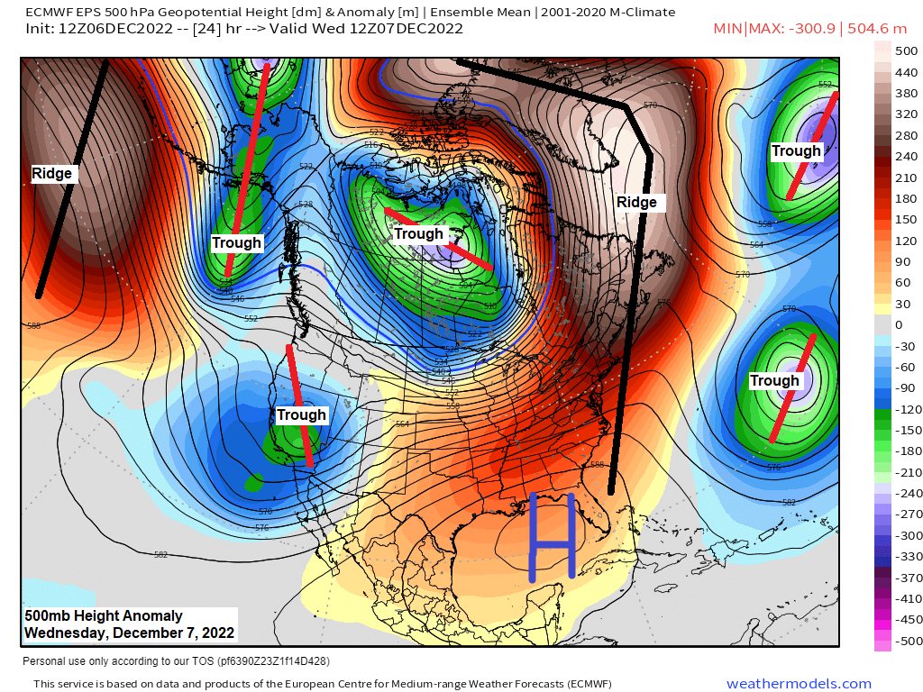
Big time cold continues today across Canada into the Northern Plains, but the Northland continues to be on the southern flank of this arctic air mass, and this will continue to be the case through Wednesday before the arctic air begins to retreat back to the north.

Another bitterly cold night ahead for North Dakota into northern Minnesota with lows well below zero tonight.

Huge temperature contrast continues Wednesday with highs in the single digits in northern Minnesota to around 40 in southern Wisconsin.

STORM THREAT NEXT WEEK
A large trough and an area of low pressure is forecast to move NE out of the Rockies early to mid-next week.
The track of this system will determine whether or not this system will impact northeast Minnesota and northwest Wisconsin, while the storm track will also determine what type/s of precipitation we see should this system affect our area.
Timing is from around December 12-14.
Stay tuned!
Here’s the 12z GEFS ensemble model precipitation type forecast for 6 AM Tuesday, December 13, 2022.
Snow – Blue
Rain – Green
Some GEFS members show rain, others snow, and there are even a few that keep the system away from the Northland next week.

One takeaway from the computer models is for a big western shift to the area of low-pressure next week.
Forecast below is for next Wednesday morning (December 14, 2022)
The European model (shown below) has shifted the low from over the western Atlantic to northern Ohio, and now the latest run shows the low over far northeast Nebraska! That is a huge shift over 3 model runs.

Thanks for reading!
Tim
Leave a Reply