5:43 PM Wednesday, May 17, 2023
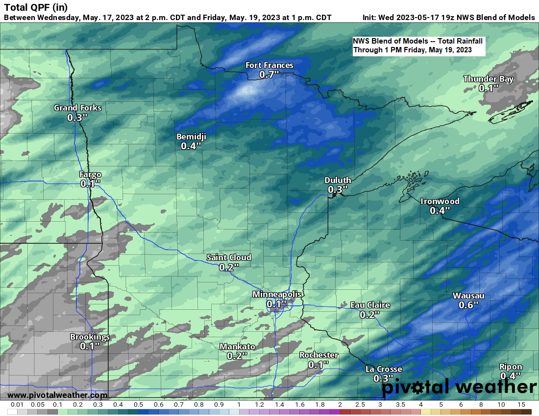
An area of low pressure with its warm front and cold front will move across the Northland on Thursday bringing occasional rain to the area. Following the surface low will be a strong upper-level low which will move across the area Thursday evening-Friday morning and this feature will bring more scattered rains to the Northland for Thursday night and Friday with rain clearing out of the area from north to south by Friday afternoon.
This weekend looks dry with warmer temperatures in the low to mid 70s on Saturday with west winds, but winds will shift back to the east on Sunday leading to much cooler temperatures near Lake Superior (40s and 50s) with milder temperatures in the mid 60s to lower 70s farther inland from Lake Superior.
HRRR model radar forecast through 1 PM Friday.
Duluth area: Rain at times during the day Thursday and into Thursday night with lingering showers on Friday, especially before Noon.

The system moving in for Thursday is a strong one, but this low is moving pretty quickly and should be out of the area by Friday afternoon at the latest.
Goes-16 water vapor loop from Wednesday, May 17, 2023 (loop time ends 5:40 PM CT)

Lots of wildfire smoke continues to move across the Dakotas, Minnesota and Wisconsin today due to the wildfires in Canada, but a lot of this smoke is aloft resulting in filtered hazy sunshine but no real smoke smell at the surface at least here in the Northland, but this hasn’t been the case in parts of North Dakota today where thicker smoke has been reported with visibilities as low as a mile.
Goes-16 visible satellite loop from Wednesday, May 17, 2023 (loop time ends 5:41 PM CT)
Note — Smoke shows up as a milky white appearance on the animation below.

Air Quality Alert issued due to wildfire smoke for northwest and north central Minnesota from 10 PM Wednesday to 12 PM Thursday.
Red area on map: Unhealthy air quality.
Orange area on map: Unhealthy air quality for sensitive groups.

Tim
Leave a Reply