6:25 PM Monday, December 18, 2023
It actually felt like how December should feel around here today, chilly and brisk, but don’t get use to this as will see milder temperatures return starting Tuesday and continuing at least through Christmas with record or near record warmth possible in the Northland on Christmas Eve.
Today’s highs and departure from normal for December 18
International Falls: 15 (-5 degrees below normal)
Hibbing: 19 (-2 degrees below normal)
Duluth: 22 (-2 degrees below normal)
Brainerd: 25 (normal)
Ashland: 29 (+2 degrees above normal)
The little bit of snow we’ve picked up in Duluth this month (3.3″ so far) will be enough to keep December 2023 from ranking in the top 10 for least amount of snow in a December.
Normal snowfall in December is 18.7″.
Top 10 least snowy Decembers on record for Duluth, Minnesota
1: 0.9″ set in 1905
2: 1.1″ set in 1894
3: 1.2″ set in 1892
4: 1.3″ set in 1939
5: 1.8″ set in 1952
6: 2.0″ set in 1979 and 1930
7: 2.2″ set in 1888
8: 2.3″ set in 1890
9: 2.5″ set in 1898
10: 2.9″ set in 1916
Temperatures in the single digits and teens will be common in the Northland tonight with a few subzero temperatures also possible, but by Tuesday afternoon will see temperatures rebound into the low to mid 30s. A brief cool down is possible Wednesday with highs in the mid 20s to mid 30s but after Wednesday it looks like will see highs in the 30s and even some 40s Thursday through Sunday.
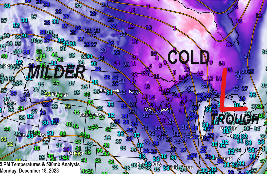
Lots of blue and some purple colors on the 24-hour temperature change map today, and those colors represent temperatures running colder compared to 24 hours ago.

Tonight will likely be our coldest night for the rest of the week in the Northland. After tonight will see a return of warmer than average temperatures for the next several days.
EPS model temperature anomaly forecast valid December 19-24, 2023.

Looking ahead to next week features more warmer than average temperatures in the Northland, but there are some cooler risks showing up in the long-range models for mid to late next week.
EPS model temperature anomaly forecast valid December 25-30, 2023.

Heads up for Sunday and Monday as we could see a rather large system move east out of the Rockies, but the track of this system is uncertain right now as will likely be dealing with energy embedded in the northern jet and energy in the southern jet. Do these systems phase or remain separate?
Note — If this system impacts the Northland (low chance it does) it looks like at least some of the precipitation would likely be in the form of rain due to continued mild temperatures but some snow would also be possible on the backside of this system early next week.
Lots of time to watch model trends on this system the next few days.

Currently it looks like parts of the Rockies and western High Plains could see a fairly significant snow event this weekend (black outlined area on map below)
Very little snow is expected in the Northland for the next 7 days.

Those were some nasty snow squalls that blew through parts of the Northland including the Twin Ports Sunday evening with brief bursts of heavy wind driven snow along with brief whiteout conditions.
The setup was very favorable for snow squall development Sunday evening especially in those light blue and purple colors on the map below.

Thanks for reading!
Tim
Leave a Reply