5:45 PM Sunday, December 17, 2023
Not a lot of good news for those wanting a substantial amount of snow around here as the pattern this week looks pretty snowless once again, although one exception to this occurs tonight as will see some snow showers blow through the Northland with generally <1″ of accumulation.
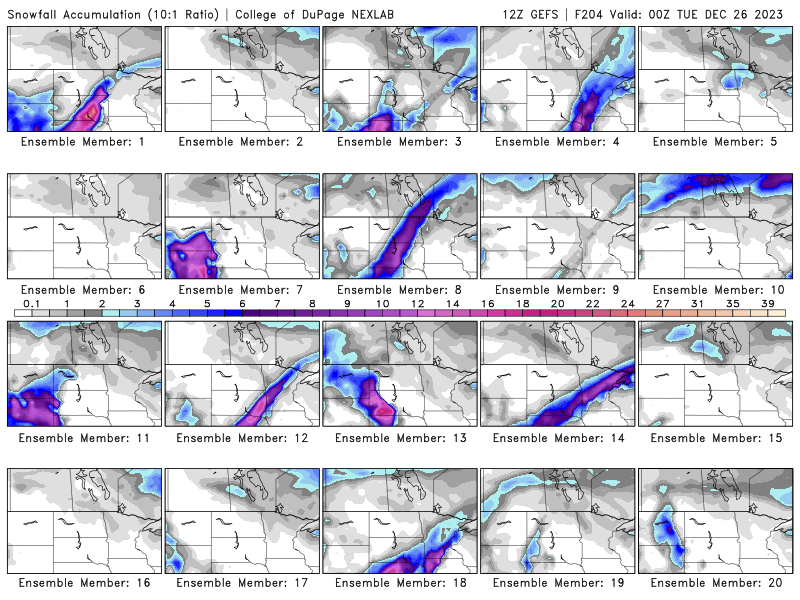
Note — Through Christmas Day, there’s only 5/20 (25%) GEFS model members showing >1″ snow totals in the Northland, while 7/50 (14%) EPS model members show >1″ of snow through Christmas.
In addition to the snow showers tonight will see increasing west to northwest winds with gusts of 20 to 35 mph and this could lead to some patchy blowing snow in parts of the Northland.
Some of the snow showers tonight could be moderate to heavy at times with the snow squall parameters showing some high values in the Northland tonight.

HRRR model radar forecast through 6 AM Monday.

Most of the Northland can expect <1″ of snow tonight, but lake effect snow will pile up around the Hurley and Gile areas in northwest Wisconsin with snow totals of 2 to 6 inches possible by Monday afternoon.

Here comes the potent quick moving trough which will move across the Northland tonight bringing snow showers to the area.

Dramatic snowfall differences in Duluth between this year and last year.
December 2023 total (thru 4 PM on the 17th) 2.7″, -7.6″ below normal. 26% of normal snowfall.
December 2022 total (thru the 17th) 37.4″, +27.1″ above normal. 363% of normal snowfall.
Thanks for reading!
Tim
Leave a Reply