6:15 PM Tuesday, January 23, 2024
A mild pattern will likely persist in the Northland into at least early February with next week looking even warmer than this week with a chance that we could see the first 50s of 2024 in some parts of the Northland toward the middle of next week, but if we fail to get into the 50s next week, we’re still looking at highs in the 40s on a few days. Record or near record warmth in both daytime highs and nighttime lows are possible through next week.
Note: The average date for the first 50 degree temperature in Duluth is March 15th (1991-2020 climate period), or March 20th using the 1875-2023 climate period.
The earliest first 50 on record in Duluth occurred on January 14th, 1894.
Last year’s first 50 in Duluth didn’t occur until April 9th.
Dating back to 2000, there’s been 4 years where the first 50 occurred during the month of February in Duluth — See below.
- February 29th, 2000
- February 16th, 2011
- February 27th, 2016
- February 17th, 2017
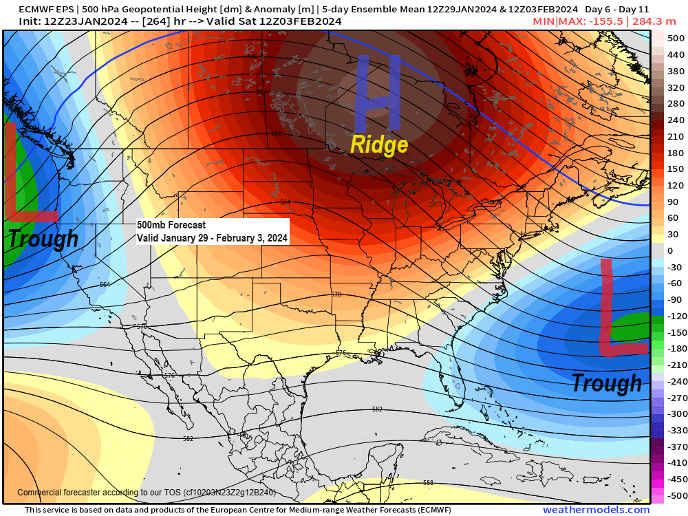
As for precipitation, there’s very little of that in the forecast for the rest of this week and probably through most of next week as well, but eventually we could see the pattern turn a little more active as a trough over the Pacific Ocean moves east into the Rockies next week. Chances for some precipitation could increase in the Northland around the February 3rd-7th time frame, but with so much warm air in place, we could be talking about more rain than snow around here in early February. Time will tell.
That’s about as warm as you’ll see a model forecast for a 5-day period.
Euro ensemble model temperature anomaly forecast for January 29th through February 3rd.

And the GEFS model agrees on this warm pattern for next week.
Oldest model run is days 9-13 and the newest model run is days 7-11 on the loop below.

One issue that we will be dealing with over the next few days is the potential for areas of fog along with a chance for some patchy drizzle, and some freezing drizzle especially at night/early morning.
Here’s the HRRR model visibility forecast through 6 PM Wednesday.
Darker areas represent visibility of <1 mile.

Thanks for reading!
Tim
Leave a Reply