5:14 PM Wednesday, March 6, 2024
Some light snow or a rain/snow mix is possible in parts of the Northland tonight into early Thursday morning, but this snow or rain won’t amount to much.
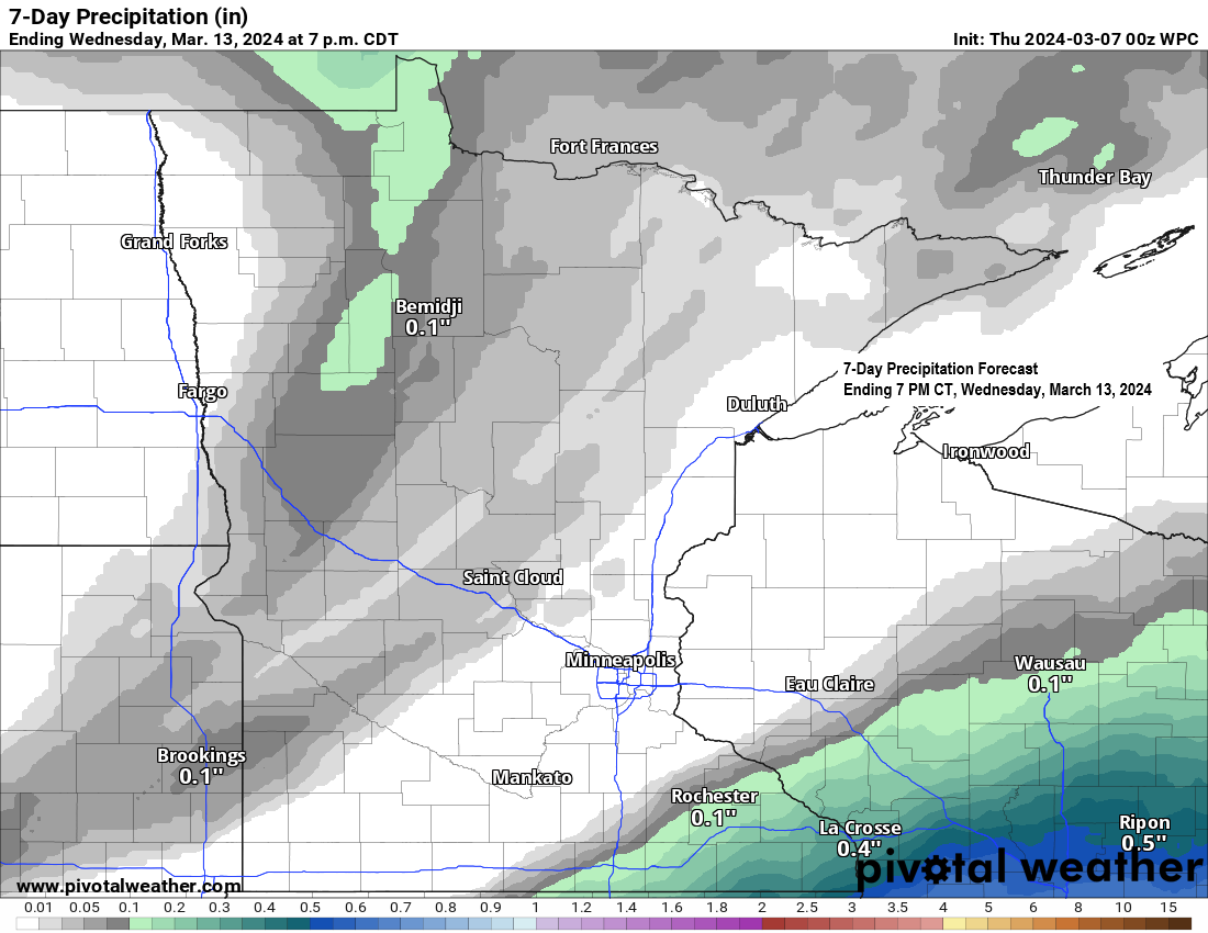
Still no signs of any major systems bringing heavier/widespread precipitation to the Northland at least through early next week, and probably beyond early next week.
Gusty east winds which occurred near Lake Superior today will diminish and become south-southwest on Thursday.
Highs Thursday will range from the lower 30s near International Falls to the 40s to lower 50s in eastern Minnesota and northwest Wisconsin.
Highs Friday and Saturday will be in the 30s to lower 40s which is close to normal to about +5 degrees above normal around here in early March.
An area of low pressure over far northeast North Dakota late this afternoon will lift north-northeast into far eastern Manitoba tonight. This system brought some snow to far northern North Dakota into southern Manitoba and southern Ontario today with reports of around 4 to 6 inches of snow west/north of Minot, ND.
There’s been very little if any precipitation reaching the ground in the Northland today despite some precipitation showing up on radar. Dry air is keeping this precipitation from reaching the ground.

A band of light snow or a mix of rain and snow is forecast to move east across north central into northeast Minnesota tonight into early Thursday morning with isolated rain or snow showers possible in eastern Minnesota and northwest Wisconsin. This precipitation will be associated with a cold front which will move east through the area tonight and Thursday.
HRRR model simulated radar forecast through 6 PM Thursday.

Snowfall accumulations of less than an inch is expected tonight in parts of north central Minnesota.

Quite a system albeit a small one lifting northeast into Manitoba late this afternoon.
Goes-16 water vapor loop ending 4:50 PM CT Tuesday, March 6, 2024.

There’s a wide range in temperatures this afternoon ranging from the teens in northern North Dakota to the 50s in central/southern Minnesota.
A gusty northeast wind coming off Lake Superior kept temperatures in the 30s today in the Twin Ports area and other locations near Lake Superior.

Thanks for reading!
Tim
Leave a Reply