4:26 PM Thursday, March 21, 2024
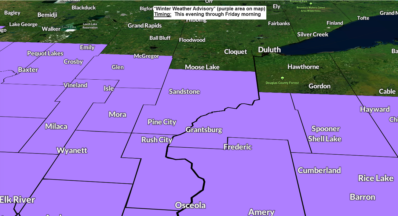
Tonight’s snow event continues to trend lighter in the Northland as the main band of higher snow accumulations sets up a little farther south across parts of central into southeast Minnesota into central and southern Wisconsin.
There’s also a lot of very dry air over the Northland today and this too should help to lower snowfall totals in our area as it will take more time for the atmosphere to saturate enough to allow snow to reach the surface, but this process will occur albeit very slowly during the night.
Most of the accumulating snow in our area tonight will likely stay south of a line from around Grand Rapids to Two Harbors.
Here is my updated snowfall forecast through 12 PM Friday.
- 1 to 2 inches of snow south of Duluth
- Trace to 1 inch of snow for Duluth

Timing for Duluth: Some snow is possible later tonight beginning around Midnight to 3 AM. Snow ends around mid-morning Friday.
NAM 3km model simulated radar forecast through 1 PM Friday.
Snow in blue colors.

Today’s system has a nice temperature gradient going for it with temperatures around 70 in western Nebraska this afternoon to the 20s in North Dakota to northern Minnesota.
An area of low pressure over eastern Wyoming this afternoon will track southeastward through central/southeast Nebraska tonight. Warm air advection occurring north of this low will help produce a swath of snow tonight in parts of the upper Midwest.

We have been seeing areas of snow today over parts of the northern Rockies and northern Plains with movement to the east-southeast.

Thanks for reading!
Tim
Leave a Reply