6:56 PM Saturday, May 25, 2024
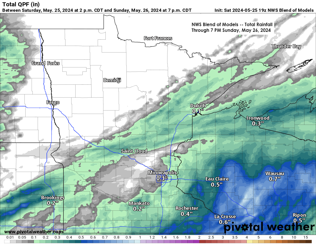
Scattered showers and isolated thunderstorms are expected tonight into early Sunday morning, primarily over the southern parts of the Northland. This includes areas of east central Minnesota and northwest Wisconsin, extending as far north as Duluth and some regions of the North Shore. Northern Minnesota is anticipated to remain dry tonight.
In far northern Minnesota, areas including Northome, Littlefork, and International Falls may experience patchy frost early Sunday morning. A frost advisory will be in effect for these regions from 4 AM to 9 AM on Sunday.
HRRR model simulated radar forecast through 7 AM Sunday.

Far northern Minnesota is expected to remain dry tonight and Sunday, while regions further south may experience occasional rain.

We’ve seen an area of showers and thunderstorms moving east-northeast across parts of east central Minnesota and far northwest Wisconsin late this afternoon. These storms have had a history of producing some lightning and heavy rainfall, along with some small hail (0.50″ diameter or less)
Radar loop ends 6:02 PM Saturday, May 25, 2024.
An examination of the recent disturbance moving northeast across the upper Midwest, as observed in satellite imagery late today.
Goes-16 sandwich satellite loop ending 6:21 PM CT, Saturday, May 25, 2024.

Today’s water vapor loop indicates an active weather pattern, with a nearly stationary upper-level system positioned over central Canada. Meanwhile, several disturbances are circulating around this system, moving east-northeast across the Plains and the upper Midwest.
Loop time ends 6:40 PM CT, Saturday, May 25, 2024.

As Sunday approaches, and especially by Monday, a mid/upper-level trough is expected to move southeastward into the upper Midwest. This upper trough will likely bring isolated to scattered showers to the Northland on Monday, with the possibility of the showers persisting into Tuesday.
But backing up to Sunday for a moment, most of that day does look dry, but there is still a possibility that we could see a few showers pop up at times.

Here’s a preliminary forecast for Monday based on one of the computer models: it’s not expected to be a day of widespread rain, but there’s a possibility of intermittent showers across parts of the Northland throughout the day.
NAM 3km model simulated radar forecast valid 7 AM to 7 PM Monday.

Wind statistics for Duluth for the Spring of 2024, through May 25th.
- There have been 46 days with peak wind gusts reaching at least 30 mph.
- There have been 15 days with peak wind gusts reaching at least 40 mph.

This is an overview of the total precipitation rankings by climate district for May 2024.
1 is wettest out of 132 years.
Note: Northeast Minnesota is experiencing its sixth wettest May on record according to climate district data.

The Northland region has received 1 to 2 inches more rainfall than usual this month, except for Ashland, which has experienced about a quarter inch less than the normal rainfall for this period.
Total Precipitation for May 2024 (thru 4 PM on the 25th)
International Falls, MN
Total: 4.46″
Departure: +2.11″ above normal
Hibbing, MN
Total: 4.28″
Departure: +2.14″ above normal
Brainerd, MN
Total: 3.78″
Departure: +1.20″ above normal
Duluth, MN
Total: 3.71″
Departure: +1.04″ above normal
Ashland, WI
Total: 2.40″
Departure: -0.33″ below normal
A Particularly Dangerous Situation (PDS) Tornado Watch is in effect until 11 PM tonight, encompassing regions of southern Kansas, western and central Oklahoma, as well as extreme north central Texas.

Multiple supercell thunderstorms have developed across the central and southern Plains this afternoon. These storms are generating enormous hailstones, some reaching 3.50 inches in diameter, which is larger than a baseball.
Radar loop ends 6:10 PM Saturday, May 25, 2024.
The GOES-16 infrared satellite loop displays the supercell thunderstorms that are currently battering regions of the central and southern Plains this late afternoon.
Loop time ends 6:21 PM CT, Saturday, May 25, 2024.

Thanks for reading!
Tim
Leave a Reply