10:50 AM Saturday, June 15, 2024
An active weather pattern is expected, bringing several rounds of showers and thunderstorms through Tuesday. Some storms may intensify, potentially becoming severe, and will likely produce heavy, torrential rainfall, which could result in flash flooding especially in the Monday-Monday night period.
The initial wave of rain is anticipated to move northward and eastward into eastern and northeast Minnesota, as well as northwest Wisconsin, later today. This rainfall is expected to persist throughout the night and conclude by early Sunday morning.
A warm front moving northeastward and a cold front moving eastward will cross the Northland on Sunday afternoon and evening, leading to a more humid and unstable environment ahead of these fronts. A cap is expected to form Sunday afternoon. If there isn’t enough lift along the fronts, shower and thunderstorm activity may be minimal Sunday afternoon and evening. However, if the cap breaks, a few strong to severe thunderstorms could develop later Sunday afternoon into the evening, with large hail, damaging winds, and heavy rainfall as the primary threats.
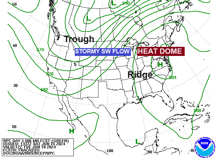
A cold front moving across the Northland on Sunday will stall over southern Minnesota on Monday, then likely lift northward, reaching northern Minnesota by Tuesday morning. Another cold front will move east from western Minnesota on Tuesday. The conditions on Monday and Monday night are highly conducive to a flash flood event in portions of the Northland, as showers and thunderstorms repeatedly pass over the same areas for several hours. With substantial moisture flowing into our region, the risk of excessive rainfall is on the rise. Areas experiencing multiple thunderstorm rounds could receive 2 to 4 inches of rain, or more, within the Monday to Monday night period.
Note: The location of the highest rainfall corridor during the Monday to Monday night period remains uncertain. However, there is some model consensus that this axis may extend from the Brainerd Lakes region towards the Iron Range and could possibly reach as far south as the Twin Ports, the North Shore, and even into far northwest Wisconsin. Forecasters at the Weather Prediction Center stated in their discussion this morning that the “potential is there for a flash flooding event unrivaled in our area for at least the last 10 years”.
The first wave expected to bring rain to the Northland is currently moving northeast from South Dakota and the central Plains region as of late this morning.

Radar loop ends 10:26 AM CT Saturday, June 15, 2024.
Note: Rain chances increase in Duluth later this afternoon after 4 PM.
RAP model simulated radar forecast valid 12 PM today to 6 AM Sunday.

The European computer model as well as the RAP model predicts higher rainfall totals extending westward into northeast and east-central Minnesota, encompassing the Duluth area for later today and tonight. Conversely, other models suggest the heavier rainfall will remain further south/east, resulting in lower precipitation levels for Duluth.


The NWS Blend of Models indicates rain totals of around 0.40 inches in Duluth through 7 AM Sunday, with greater amounts expected further south and east.

The Northland region (indicated by the darker green area on the map) may experience a few strong to severe thunderstorms Sunday afternoon and evening. The likelihood of severe thunderstorms increases further south (as shown in the yellow area on the map), particularly late Sunday afternoon into the night.

Isolated to scattered, strong to severe thunderstorms may occur on Monday, with the highest likelihood in the areas in yellow on the map.

The likelihood of isolated to scattered, strong to severe thunderstorms persists into Tuesday, with the greatest probabilities indicated by the yellow area on the map.

Thanks for reading!
Tim
Leave a Reply