6:21 PM Saturday, December 7, 2024
Duluth is running 13.3 inches below normal in snowfall so far this season, but we have picked up 4 inches more snow this season compared to where we were at this time last year. (7.7″ vs. 3.7″).
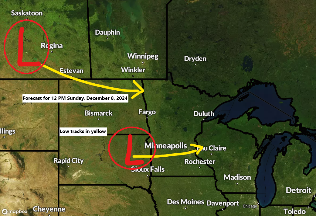
Wet snow accompanied by mixed precipitation is likely from Sunday into Monday morning.
-The most significant snow accumulations are expected over Minnesota’s Arrowhead, particularly along the elevated terrain of the North Shore of Lake Superior, where a winter storm warning will be in effect from noon Sunday to noon Monday. East to southeast winds sweeping across Lake Superior may result in terrain/lake-enhanced snowfall over the Arrowhead from late Sunday afternoon through Monday morning, in addition to the system snow that is forecasted to begin Sunday afternoon.
-Expect east to southeast winds, gusting from 15 to 30 mph, along the North Shore of Lake Superior starting late Sunday afternoon through Monday morning. These gusty conditions may result in areas of blowing snow.
Should also be noted that this snowfall will likely be wetter and more dense than previous snowfalls, which had a drier and fluffier nature due to the amount of cold air that was in place; however, Sunday’s system will be a warmer system.

A winter weather advisory is in effect for parts of northern and northeast Minnesota because of expected snow and mixed precipitation from Sunday afternoon to early Monday morning.


Precipitation, either as snow or a mix, is forecasted to spread eastward across the Northland region, beginning in the mid-morning on Sunday and persisting into the afternoon.
Duluth area: Snow, or a mix, is forecasted to begin between 12 PM and 2 PM on Sunday, tapering off from 7 PM to 9 PM Sunday evening. Patchy drizzle or freezing drizzle is expected Sunday night into early Monday morning, followed by additional light snow and sporadic snow showers during the day Monday.
NAM 3km model simulated radar forecast valid from 6 AM Sunday to 6 PM Monday.


Subscribe to continue reading
Become a paid subscriber to get access to the rest of this post and other exclusive content.