6:17 PM Tuesday, January 7, 2025
Snow is in the forecast on Thursday; in fact, this may be the biggest snowfall event we’ve seen so far this month in Duluth, which is currently 0.2 inches on the 1st. Here we go!
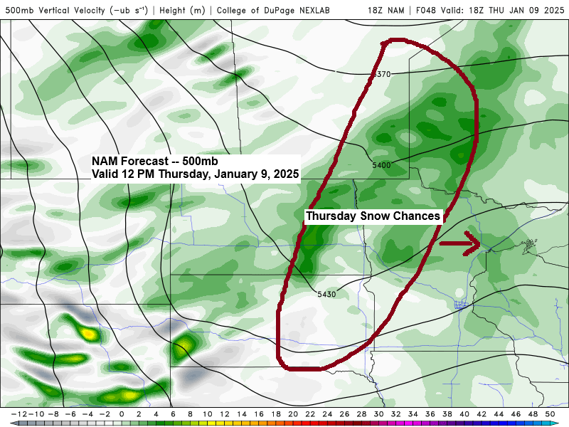
Timing of this system is all over the place in model guidance right now. It might snow a bit Thursday, might hold off until Thursday night or even Friday morning, but putting my stock in the Euro model would show some snow falling in Duluth starting Thursday afternoon after 2 PM, with snow ending Thursday night after 7 PM. Will see if this changes at all in the next 24 hours.
Euro model simulated radar forecast valid 6 AM Thursday to 6 AM Friday.
Snow in blue colors

Note — The last time the Duluth Airport recorded at least an inch of snow was on December 19th, with 2.4 inches of snow.
Here’s my snowfall forecast for Thursday through Noon Friday.
Duluth area: An inch or less of snow the way it looks now.
-About 1 to 2 inches of snow is possible west and northwest of Duluth.

Winter Storm Watches (blue on map) are in effect in parts of the Southern Plains Thursday and Friday, including parts of Texas, Oklahoma, Louisiana, Arkansas, Mississippi, and Tennessee.
We also have cold weather advisories (light blue on the map) down toward New Orleans, LA, and also for parts of northwest Florida with wind chill temperatures in the teens and 20s on Wednesday morning.

Potential for heavy snow, along with freezing rain and sleet, continues Thursday and Friday from north Texas into eastern Oklahoma and much of Arkansas. There is a chance for 6 or more inches of snow in some parts of these areas.


Subscribe to continue reading
Become a paid subscriber to get access to the rest of this post and other exclusive content.