Category: winter storm potential
-
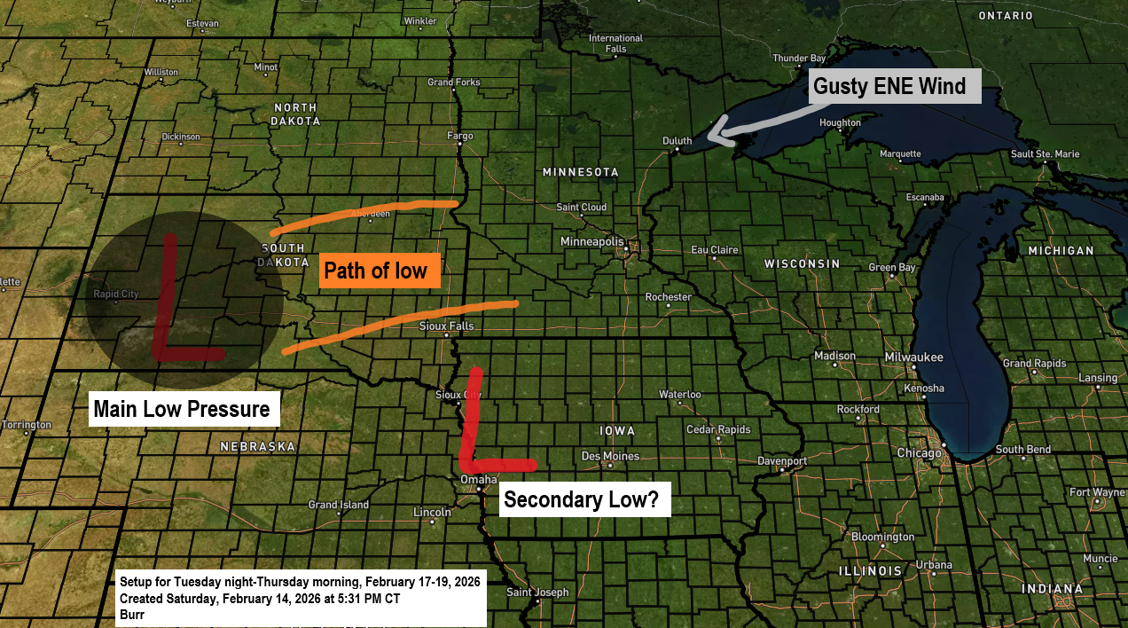
Potential Midweek Winter Storm for the Northland
The main story is still the potential winter storm expected to roll in around midweek, but it’s worth noting today’s record-breaking warmth in the Northland. Ashland, Brainerd and Hibbing all set new daily high temperature records for February 14th, with more details on that coming later in this post. Here’s…
-
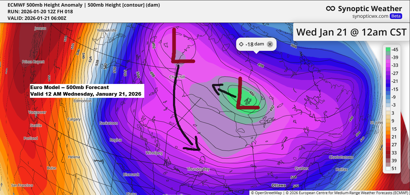
Polar Vortex Brings Frigid Temperatures to the Northland later this week
Temperatures warmed up in the Northland today, with highs reaching the single digits to around 10 above zero. Wednesday will bring warmer temperatures, with highs mainly in the teens. After that, the polar vortex will roll in, delivering the coldest air of the winter to the area. Thursday’s highs will…
-

One system exits tonight; another system is on the way for midweek
6:22 PM Sunday, March 30, 2025 A strong spring storm is affecting many areas today, bringing snow and ice in the colder air north of the low, which was over western lower Michigan late this afternoon, while in the warmer air south and east of the low, there’s a risk…
-

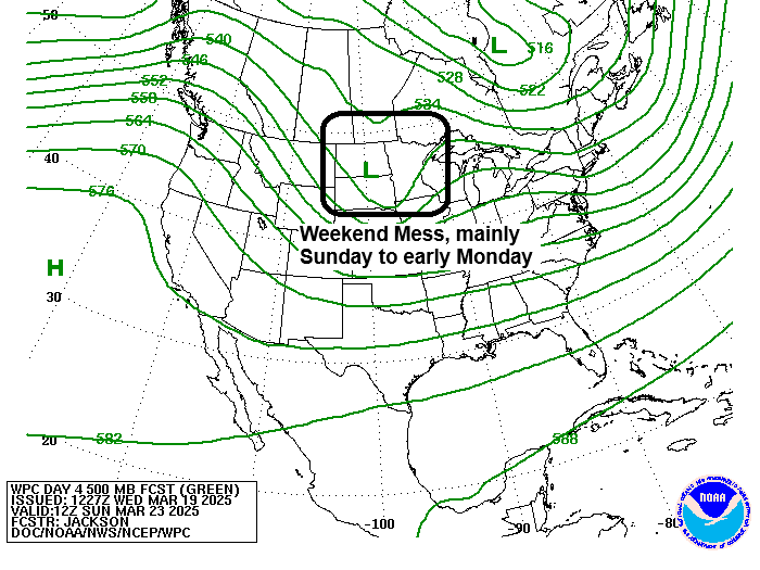
Busy times ahead with 3 different storms potentially impacting the Northland through next week
6:30 PM Wednesday, March 26, 2025 The pattern has been active throughout the month, but these systems have not taken a favorable track to bring significant precipitation to Duluth. Will that change over the next week or so? Time will tell, but sometimes once a pattern becomes established, it is…
-

Arctic shot Friday night; Messy system Sunday; Snow/Ice Potential ~March 28-30
6:36 PM Thursday, March 20, 2025 An interesting system is arriving this weekend, mainly from late Saturday night to Sunday night. Impacts for the Northland include -Accumulating Snow (possibly significant amounts >4″ for some) -A wintry mix especially in northwest Wisconsin, Twin Ports and east central Minnesota. -Snow that accumulates…
-
Messy System Sunday
6:22 PM Wednesday, March 19, 2025 It’s been a pretty snowless month so far in Duluth, with just 3.2 inches of snow, which is 5.4 inches below normal to date. However, it looks like we may be adding to the monthly total with a system crossing the area on Sunday.…
-
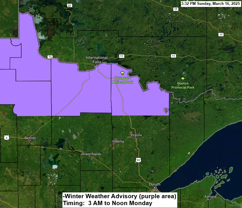
Snow is expected in far northern MN on Monday morning, with a winter storm midweek primarily affecting areas south of the Northland
6:02 PM Sunday, March 16, 2025 Heads up in far northern Minnesota, more snow is coming Monday morning with a winter weather advisory for International Falls, Littlefork, Orr and Crane Lake. The snow Monday morning should stay north of Duluth, and another system around Wednesday looks to pass south of…