Temperatures warmed up in the Northland today, with highs reaching the single digits to around 10 above zero.
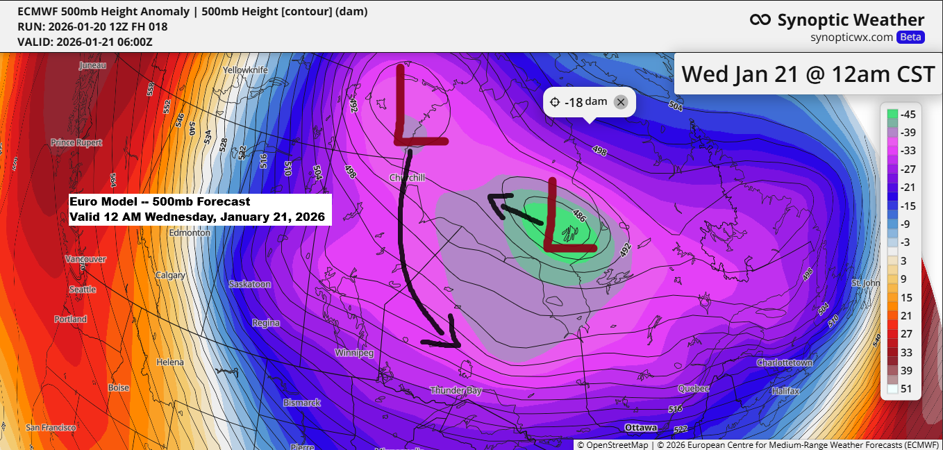
Wednesday will bring warmer temperatures, with highs mainly in the teens. After that, the polar vortex will roll in, delivering the coldest air of the winter to the area.
Thursday’s highs will range from 10 below to just a few degrees above zero, while Friday will be even colder with highs mostly in the teens below zero. Saturday looks frigid too, with temperatures in the single digits to teens below zero.
From Thursday night through Saturday night, temperatures are expected to plunge into the 20s and 30s below zero, with some of the usual cold spots possibly hitting -40 or even lower.
…Dangerously cold wind chills…
From Thursday night through Saturday morning, wind chill temperatures in northeast Minnesota and northwest Wisconsin are expected to range between about -35 and -50 degrees.
Euro model wind chill forecast valid 12 PM Thursday to 12 PM Saturday.

…Cold Weather Alerts…
A cold weather advisory is in effect for the light blue shaded area from midnight Wednesday to noon Thursday, with wind chill values dropping as low as -25 degrees.

An Extreme Cold Warning is in effect for the dark blue shaded area from midnight Wednesday night until 6 PM Thursday, with an Extreme Cold Watch in place for the same area from Thursday evening through Saturday morning.
An extreme cold watch will be in place for the lighter blue shaded area from Thursday evening until Saturday morning.

…Little snow Wednesday…
A bit of snow is likely in the Northland on Wednesday as a cold front moves through the area. With limited moisture, snowfall should stay at an inch or less.
NAM 3km model simulated radar forecast valid 6 AM to 6 PM Wednesday.


For the rest of January, northeast Minnesota and northwest Wisconsin aren’t expected to see much snow, which isn’t too surprising given the cold air settling over the region. This will push the storm track well to the south, while the active clipper pattern we’ve experienced a few times this winter takes a break for now.
Out of the 20 GEFS model ensemble members, about 9 predict 2 or more inches of snow in Duluth by January 31, while the rest show less than 2 inches.
Note: Duluth has seen 11.1 inches of snow so far this month, which is about normal up to January 20th, while our seasonal total since October 1st is at 37.6 inches, which is 9.2 inches below normal.

It was another bitterly cold morning across the Northland, with temperatures in the teens and even dipping into the 20s below zero in some spots.
Some of the chilliest spots on Tuesday morning were -26 in Skibo, MN, -25 in Glidden, WI, -24 in Longville, MN, -23 in Northome, MN, -22 in Moose Lake, MN, and -20 in International Falls, MN.
Note: This morning in Duluth, the official low was -16 degrees, nearly 20 degrees colder than the typical January 20th low of 2 degrees.

…Possible major winter storm between January 23 and 26…
While this storm won’t affect the Northland, I’m keeping a close watch on a potential whopper of a winter storm that could hit a large area from the south-central U.S. to the Mid-Atlantic, starting Friday and lasting through the weekend.
A strong southern branch of the jet stream, paired with frigid Arctic air to the north and rich moisture streaming up from the Gulf, is expected to bring widespread wintry weather from the south-central U.S. to the Mid-Atlantic late this week into the weekend.

This weekend, widespread snowfall of 6 inches or more is expected, with some areas seeing over a foot, just north of the freezing rain and ice storm.

Later this week and into the weekend, much of the Deep South could see ice accumulation ranging from a quarter to half an inch, with some areas potentially getting more than an inch. Such heavy ice buildup could cause widespread damage to trees and power lines, leading to prolonged power outages.

Leave a Reply