7:10 PM Saturday, February 15, 2025
Updated snowfall stats for Duluth, Minnesota as of 4 PM Saturday, February 15, 2025.
Month to date total: 15.0 inches
Departure: +7.5 inches above normal
Percent of normal snowfall: 200% of normal
Seasonal total (Since Oct.1): 39.5 inches
Departure: -20.4 inches below normal
Percent of normal snowfall: 65% of normal
Snow depth: 14 inches
-Duluth has received about 22 inches more snow this winter than last winter by February 15th.
-Five snow events of one inch or more have occurred this month in Duluth. Normal in February is four.
-Today, February 15th, is the 13th consecutive day of below-normal temperatures in Duluth, with the last above-normal reading on February 2nd.
Note: Up to a foot of snow has fallen along the South Shore of Lake Superior in northwest Wisconsin since Friday evening.
Updated Snow Totals for the February 14-15 event thru 3 PM on the 15th
3 S Cornucopia, WI: 12.0″
4 SSW Ashland, WI: 11.3″
Blueberry, WI: 8.0″
3 N Amnicon Falls S.P. 7.0″
Mellen, WI: 5.0″
Winter Weather Alerts
Lake effect snow showers will continue tonight into Sunday morning along the South Shore of Lake Superior in northwest Wisconsin, where a winter weather advisory remains in effect. Additional snowfall accumulations ranging from 1 to 4 inches are expected along the South Shore through Sunday morning.


Dangerously cold wind chills of 40 to 45 degrees below zero are possible late Sunday night into Monday morning in parts of northern Minnesota, where an extreme cold watch is in effect.

HRRR model wind chill forecast valid 9 PM Sunday to 12 PM Monday.

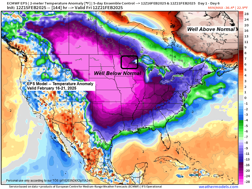
Colder air begins to move into the Northland tonight, and this will be the start of several days of Arctic air.
Temperatures at 850 mb (~5000 feet) will fall to -20 or lower late tonight and Sunday, and to around -30 Sunday night and Monday.

Lowest temperatures so far this month
Hibbing, MN: -37 on the 12th
International Falls, MN: -35 on the 13th
Brainerd, MN: -30 on the 12th
Duluth, MN: -26 on the 12th
Ashland, WI: -18 on the 12th
Highs on Sunday will range from single digits to lower teens across the Northland, with even colder daytime temperatures on Monday and Tuesday, with highs in the single digits below to single digits above zero.

Sunday morning lows will range from the single digits below zero to around 20 below in northern Minnesota and from around 5 below to 10 above zero in northwest Wisconsin.
Low temperatures from Sunday night through Wednesday night are forecast to be in the teens and 20s below zero across the Northland, with some 30s and even 40s below possible in northern Minnesota.


Subscribe to continue reading
Become a paid subscriber to get access to the rest of this post and other exclusive content.