5:30 PM Tuesday, May 13, 2025
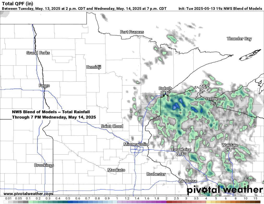
Isolated showers and thunderstorms are anticipated on Wednesday across portions of the Northland, particularly in northwest Wisconsin and far eastern Minnesota. While showers are expected to be quite scattered, areas where they do occur may experience brief heavy downpours. However, a widespread rain event is not likely in the Northland on Wednesday.
NAM 3km model simulated radar forecast valid 7 AM Wednesday to 7 AM Thursday.

A stronger weather system is forecast to move northeast into the Upper Midwest on Thursday bringing enhanced lift that is anticipated to produce a more widespread rain event across northeast Minnesota and northwest Wisconsin. Thunderstorms are also expected on Thursday, with the potential for a few strong storms capable of producing gusty winds and hail.
As low-level moisture continues to increase, fog may become a concern near Lake Superior on Wednesday night and Thursday. Some of this fog could potentially become dense.
Warm temperatures will persist on Wednesday and Thursday, reaching the 80s on Wednesday and the 70s and 80s on Thursday. East winds will maintain temperatures in the 40s and 50s within 10 miles of Lake Superior on both days.
Note: The last occurrence of rain in the Northland was early this month, over a week ago. This is a pattern we must strive to mitigate in the coming months, as the warmer temperatures and extended intervals between rainfall quickly lead to dry conditions during this time of year.
…Severe Thunderstorm Chances Thursday…
The conditions for Thursday are conducive to some severe weather; however, there are also certain unfavorable factors within the setup.
A strong low-pressure system accompanied by an occluded front is expected to move northeast into the Northland on Thursday afternoon.
Southeasterly winds ahead of this system will bring moisture northward into the area, while drier air advances from the southwest.
Winds aloft appear conducive to severe weather development; however, there are certain limitations to this setup. One notable drawback is the relatively narrow corridor of maximum instability, which suggests that storms may have limited time in the most favorable environment for producing severe weather before they outrun the corridor of best ingredients. Additionally, the overall timing of this system seems suboptimal for the Northland, as most storms are anticipated to occur Thursday afternoon into early evening—a timeframe not typically ideal for severe weather formation.

The majority of Wisconsin, excluding the far northern regions, seems to face the highest risk for scattered severe thunderstorms on Thursday afternoon and evening, while the far northern areas of Wisconsin and northeast Minnesota are expected to have a lower risk.
Large hail and strong winds are expected to be the primary hazards on Thursday; however, isolated tornadoes remain a possibility, particularly in Wisconsin.

Rainfall totals of up to half an inch are expected in northeast Minnesota and northwest Wisconsin from Thursday through Friday, with localized areas potentially receiving amounts exceeding one inch.

On the backside of this late-week system, temperatures could turn cold enough to produce a little snow in parts of North Dakota and far northwest Minnesota Friday night and Saturday, with some light slushy snow accumulation possible and higher totals likely over parts of Manitoba. These same areas have had temperatures in the 80s and 90s this week. Pretty crazy!

Fires are still burning in southeast Manitoba, southern Ontario, and northeastern Minnesota today. A cooler and wetter pattern is expected later this week, which should reduce fire weather concerns.

Here’s a loop of the above image, ending at 2:41 PM on Tuesday, May 13, 2025.
Note the smoke being pushed north-northeast by southerly winds today.

An Air Quality Alert is in effect until 4 PM on Wednesday for northeast Minnesota, including the areas of Hibbing and Ely.
Two large wildfires, the Camp House Fire and Jenkins Creek Fire, remain uncontained in the Superior National Forest in northeast Minnesota. These fires are located near Brimson, approximately 25 miles north-northwest of Two Harbors. Southerly winds are expected to carry smoke northward into northern St. Louis and Lake counties.

Today’s weather pattern is similar to recent days, featuring a strong ridge in the upper Midwest and Great Lakes, and a deep trough in the western U.S., along with an upper low in the Ohio Valley.
The trough in the western region will disrupt the persistent ridge that recently dominated the upper Midwest, leading to the emergence of a new weather pattern later this week.

Here’s how the pattern appears in today’s water vapor imagery, and yes, it looks very blocky.
Goes-16 water vapor loop ending 2:30 PM CT Tuesday, May 13, 2025.

The heat persists across the region today, with widespread temperatures ranging from the 80s to 90s. However, a stronger lake breeze near Lake Superior is maintaining cooler conditions, with temperatures in the 50s and 60s within approximately 10 miles of the lake.
New record high temperatures were recorded on May 13th.
International Falls, MN
New record: 89
Old record: 87 set in 1977
Note: International Falls has set a new daily record high temperature for three consecutive days.

Higher dew point temperatures are beginning to advect into the upper Midwest this afternoon, with values ranging from the 40s and 50s to even some 60s in southern and eastern Wisconsin.

Thanks for reading!
Leave a Reply