Cooler temperatures arrived today, driven by a strong northeast wind.
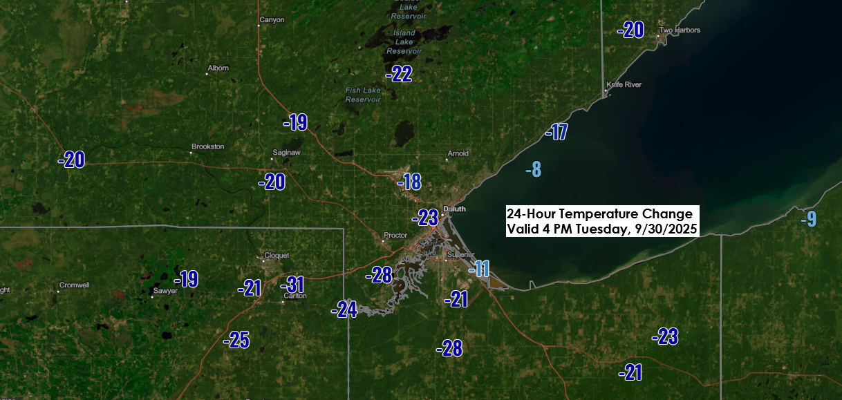
Around Lake Superior, highs dropped from the 80s on Monday to the upper 50s and lower 60s, a significant 15 to 25-degree decline compared to Monday afternoon.
Temperatures inland from Lake Superior remained mild today, though slightly cooler than Monday, with most areas in northeast Minnesota and northwest Wisconsin seeing highs in the 70s.
Winds near Lake Superior are expected to shift to a warmer southerly direction later in the week, from Thursday through Sunday. Temperatures could climb back into the 70s and possibly even reach the 80s with enough sunshine.

A few showers have been observed in the far western parts of the Northland today, though they are only impacting a small area. The chance for isolated showers and possibly a thunderstorm will persist through Thursday in the western and northern parts of the region.
Note: Looks like it will stay dry in Duluth through Saturday.
Radar loop ends 5:42 PM Tuesday, September 30, 2025.
This weekend, a frontal boundary will gradually shift south and east across the Upper Midwest. Computer models suggest most of the rain will focus on parts of the Dakotas and western to northern Minnesota, where rainfall amounts could range from half an inch to over an inch between Friday night and Sunday.
Rain totals appear significantly lower farther south and east, including areas like eastern Minnesota, the Twin Ports, and northwest Wisconsin. Rain chances for these regions seem likely to hold off until Sunday.


Leave a Reply