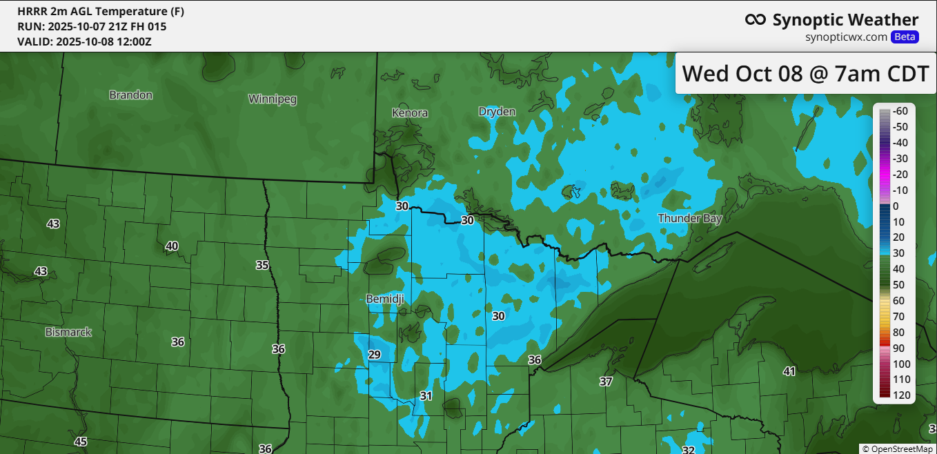
A widespread frost and freeze is expected across northeast Minnesota and northwest Wisconsin from late tonight through mid-morning on Wednesday. A freeze warning is in effect for the entire Northland, with sub-freezing temperatures potentially dropping as low as 23 degrees.
Some patchy frost is also expected for the first time this season below the hill in Duluth, even though temperatures are forecasted to be slightly warmer, ranging from 31 to 35 degrees closer to Lake Superior.
Here are the record low temperatures for October 8.
Note: These records should be safe.
- Brainerd, MN: 18 set in 2000
- International Falls, MN: 20 set in 1917 and 2000
- Hibbing, MN: 20 set in 2000
- Ashland, WI: 22 set in 1937
- Duluth, MN: 24 set in 1917 and 1989

A dry air mass dominated the Northland today, with dew points only in the 20s and even some spots reporting dew points in the teens. Temperatures are expected to drop quickly after sunset under mainly clear skies and light winds. With the dry air in place, much of the Northland could see temperatures falling well below freezing.
The last recorded temperature of 32 degrees or lower at Duluth Airport was on May 23, 2025, with a low of exactly 32 degrees.
Reviewing the past five years to determine when the first fall freeze, reaching 32 degrees, occurred in Duluth.
- 2020: September 17
- 2021: October 21
- 2022: September 28
- 2023: October 16
- 2024: October 14
If temperatures in Duluth drop to 32 degrees tonight, the first freeze of this fall would align with the range of dates it has occurred over the past five years.

A cold front moving through the Northland on Thursday night could bring a few light showers, but no significant rainfall is anticipated with it.
There’s a better chance of rain Saturday night or Sunday as another system moves through the upper Midwest. It could bring measurable rainfall, potentially around 0.1 to 0.25 inches based on current predictions.

No strong indications are showing up in the computer models for the season’s first accumulating snow in northeast Minnesota and northwest Wisconsin, at least through October 22.
Parts of the western U.S. and portions of western and northern Canada are where we could see more significant snow events over the next 2 weeks, according to the European computer model.

Leave a Reply