An arctic airmass will move into the Northland on Wednesday, with morning temperatures in the teens dropping to between zero and the single digits during the day, then plunging to around 5 to 20 below zero by Wednesday night.
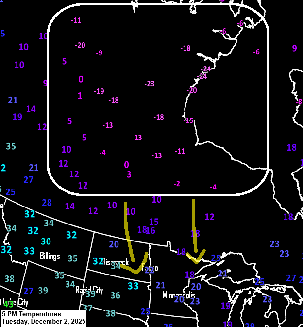
Temperatures to our north in this arctic air were in the single digits to 20s below zero this afternoon, with wind chills reaching as low as 40 to 50 below zero on the western shores of Hudson Bay.
An upper low over Hudson Bay, part of the Polar Vortex, will push a lobe of cold Arctic air south into the upper Midwest on Wednesday. While the coldest temperatures and lowest 500mb heights with this Arctic airmass will pass north of our area, it’s still going to get quite cold here, with 850mb temperatures dropping to around -20 to -26°C and 500mb heights falling to between 515 and 528 meters.

Gusty northwest winds, blowing at 15 to 30 mph, will usher in the cold air on Wednesday.
NAM forecast 850mb winds valid 6 AM Wednesday to 6 AM Thursday.

Scattered snow showers and flurries will move through northeast Minnesota and northwest Wisconsin tonight and into Wednesday, but snowfall should be light, with most areas seeing less than an inch of accumulation.
Radar loop ends 6 PM Tuesday, December 2, 2025.
NAM-Nest simulated radar forecast through 7 PM Wednesday.

Make a one-time donation
Make a monthly donation
Make a yearly donation
Choose an amount
Or enter a custom amount
Your contribution is appreciated.
Your contribution is appreciated.
Your contribution is appreciated.
We might see a bit more snow between Thursday evening and Friday, with a quick burst of warm air moving in before another wave of cold air arrives for the weekend.
Next week’s weather pattern looks pretty active, with several clipper-type systems expected to move through the upper Midwest. Each one could bring accumulating snow to northeast Minnesota and northwest Wisconsin, depending on the track of each system.
The weather pattern through mid-December looks pretty active, with ensemble models indicating the potential for half an inch to an inch or more of precipitation. If it all comes down as snow, we could be in for a decent amount over the next two weeks. Definitely something to watch.
The three maps below display precipitation totals through December 17, 2025, based on the Euro ensemble (EPS), American ensemble (GEFS), and Canadian ensemble (CMCE) models.


Leave a Reply