Month: March 2026
-
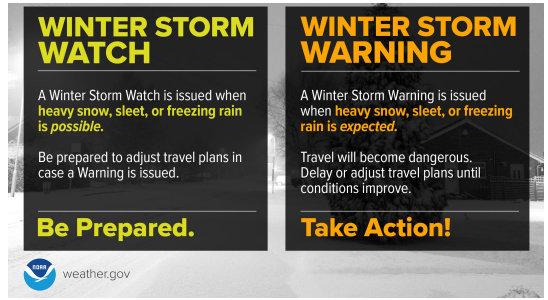
A winter storm watch is in effect for Thursday, with snow and ice expected to hit northeast Minnesota and northwest Wisconsin.
Timing for Duluth: It looks mostly dry from Wednesday into Wednesday night, though a few snow showers are possible at times, with little to no accumulation expected through Wednesday evening. Snow is likely to pick up late Wednesday night into Thursday morning, with the worst conditions expected during the day…
-
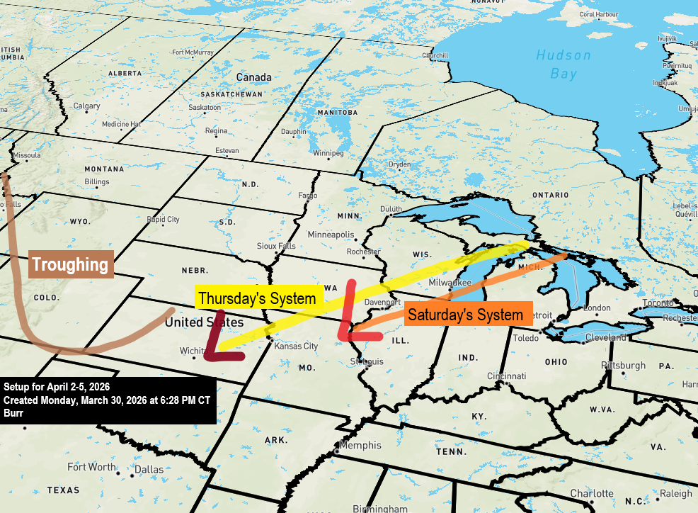
Possible snow and ice later this week and into the weekend
This second post highlights two possible winter storms that could impact the Northland later this week and into the weekend. Before getting into the details, let’s see how Duluth measures up in snowfall for the 2025-2026 season through March 30th. Total: 73.6 inches We only need another 16.6 inches of…
-
Winter Weather Advisory: Areas of Snow and Ice Expected
Two posts will be coming out today as multiple systems are set to impact the Northland this week. The first post highlights a weather system expected late tonight into Tuesday morning, bringing the chance of snow, rain, and freezing rain. Because of this, a winter weather advisory is in effect…
-
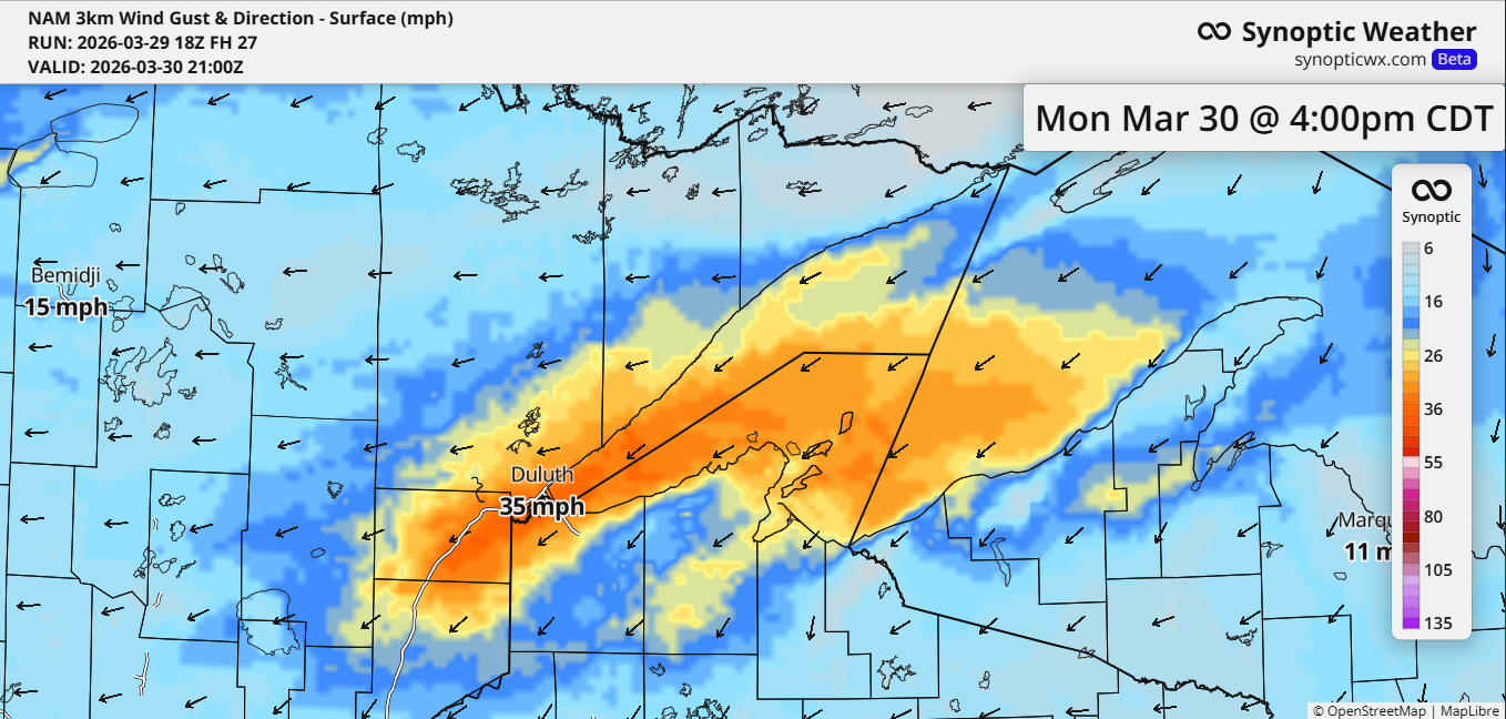
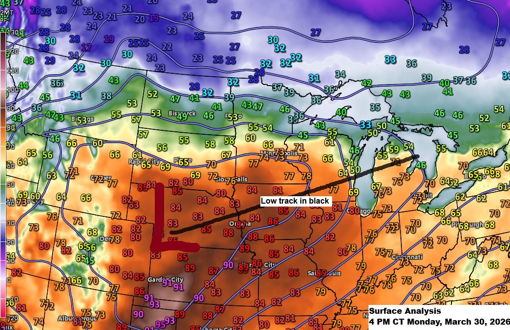
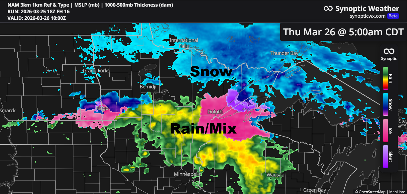
Active Weather Pattern Ahead
Northeasterly winds will pick up near Lake Superior, including Duluth, from Monday afternoon into early Tuesday morning, with gusts expected between 25 and 40 mph. Parts of the Northland may see a mix of snow, rain, and some patchy freezing rain from Monday night into Tuesday as a trough moves…
-
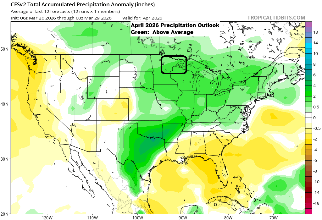
April Snowfall Patterns in Duluth, Minnesota
With April just around the corner, it’s a great time to review Duluth, Minnesota’s snowfall totals from 2015 to 2025. 2015: 1.2 inches2016: 9.8 inches2017: 1.9 inches2018: 18.5 inches2019: 6.5 inches2020: 2.7 inches2021: 2.3 inches2022: 19.2 inches2023: 11.9 inches2024: 0.1 inch2025: 9.3 inches Note: In April, Duluth usually sees around…
-
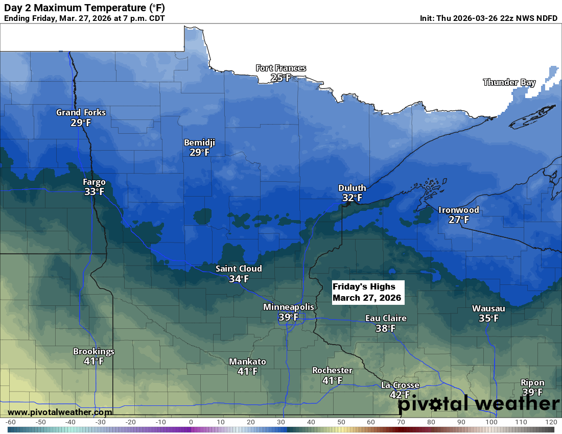
Scattered snow showers and a chilly Friday ahead
It’ll be chilly tonight and Friday, but things will start to warm up over the weekend. By Sunday, east winds will bring cooler air back to areas near Lake Superior, while inland spots will see highs in the 40s and 50s, with a few places possibly hitting the 60s. Tonight…
-
Late‑night mix tonight; snow chances Friday and an active pattern next week
Confidence is fairly low about how things will unfold late tonight into Thursday morning, but there’s a chance we could see some rain and a wintry mix in parts of northeast and east-central Minnesota, stretching into northwest Wisconsin. This would happen as a frontal boundary slowly drifts south, with warm…