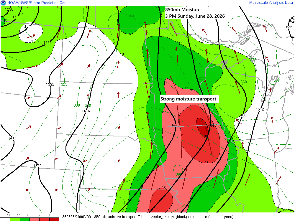
A strong southerly low-level jet will keep pushing plenty of moisture north into our area tonight.
This afternoon’s surface map shows two boundaries: one behaving more like a moisture gradient front, with dew points climbing into the 70s to the south and sitting in the 50s and low 60s to the north, while the actual warm front remains well to the south over central Iowa.
Both the moisture gradient front and the warm front will move north tonight, with the warm front expected to reach southern Minnesota by daybreak Monday and then push into north-central Minnesota by late Monday afternoon.
Meanwhile, a cold front moving in from the west will push east but is likely to stall over eastern Minnesota or western Wisconsin on Tuesday.

…Tonight/early Monday morning…
Scattered showers and a few thunderstorms are expected to develop across northeast and east-central Minnesota, as well as northwest Wisconsin. While the risk of severe storms is low tonight, a few stronger cells could bring hail up to 1 inch in diameter, about the size of a quarter.
Tonight’s rainfall is expected to be heaviest in eastern Minnesota and northwest Wisconsin, with amounts ranging from 0.10 to 0.25 inches or more, while northern Minnesota will likely see lighter totals.

Here’s a look at Sunday afternoon dew point temperatures across Minnesota. When the dew point climbs above 60, it starts to feel humid, and once it’s over 70, the air can feel downright oppressive.

On Monday, dew points will rise to between 67 and 75 degrees in inland areas of northeast Minnesota and northwest Wisconsin, while areas near Lake Superior will see lower dew points due to cooler temperatures.

…Severe Threat Monday…
Northeast Minnesota and northwest Wisconsin remain under a slight risk, rated level 2 out of 5, for severe thunderstorms, with most of the activity expected from late Monday afternoon into Monday night.
Right now, it seems that damaging winds and hail would be the main threats in northeast Minnesota and northwest Wisconsin if severe storms form. The tornado risk appears to be limited to northwest Minnesota.

One big unknown with Monday’s forecast is whether or not the cap holds strong and keeps thunderstorms from forming in much of the Northland.
This afternoon, 700mb temperatures range from +12 to +16°C across central and southern Minnesota, and these warmer temperatures will spread farther north and east on Monday. Such warmth at the 700mb level signals a strong cap, and without enough forcing from fronts, low-pressure systems, or a low-level jet, the cap often holds and prevents storms from forming.

Basically, there are two camps that the models fall into regarding how Monday might unfold.
One solution is to limit thunderstorms and severe weather to far western and northern Minnesota, with little to no activity south of that black line on the map.

Another possibility is for a broken line of thunderstorms to form in northwest and far western Minnesota by mid to late Monday afternoon. These storms could quickly merge into a squall line, racing east across the Northland between about 7 PM and 1 AM, reaching Duluth around 10-11 PM Monday night.

…Monday’s temperatures…
On Monday, the heat won’t reach Duluth or Superior, as a cool northeast breeze off Lake Superior will keep temperatures in the 50s and 60s within about 10 to 20 miles of the shore, with the possibility of some fog rolling in too.
Inland from Lake Superior, Monday afternoon will be different as warmer air moves in from the south, but the speed of this change varies between the models.
Take Moose Lake, MN, for example—the NAM Nest model shows temperatures around 70 on Monday afternoon, while the HRRR model has them closer to 90 at the same time.


…Winter Storm in late June…
The mid and upper-level trough over the Rockies is quite strong, coming in around -3 to -4 sigma according to the GFS model. In fact, the western trough is more remarkable than the ridge developing over the southeast U.S. today.

Quite a powerful system over southwest Canada and Rockies for late June.
Goes-19 water vapor loop ending 5:50 PM CT Sunday, June 28, 2026.

A major winter storm is hitting the northern Rockies through Monday, with winter storm warnings and advisories in place.

Snowfall above 6,500 feet could range from 4 to 8 inches in parts of southwest Montana and eastern Idaho, with some areas potentially seeing over 18 inches by Monday afternoon.

Leave a Reply