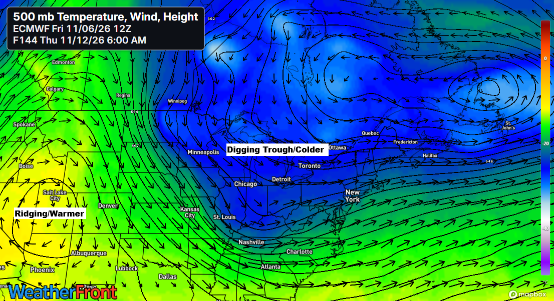
A few cold fronts will move through the area late this weekend into next week, but they’re not expected to bring widespread rain or snow. In fact, the upcoming weather looks much drier, which isn’t surprising after the record rainfall earlier this week. The weather always seems to find a way to balance itself out.
Nights and mornings will stay crisp, but afternoons in northeast Minnesota and northwest Wisconsin will warm up into the 40s and 50s from Saturday through Monday, with Monday shaping up to be the mildest day in the coming stretch.
There is potential for another short-lived period of colder air across the Upper Midwest during the middle to latter part of next week as a trough pushes southeast from central Canada. A few scattered rain or snow showers may develop with the passage of this trough.
Next week, around Thursday and Friday, November 12-13, some lake effect snow showers may form along the South Shore of Lake Superior in northern Wisconsin. Currently, it doesn’t seem like a major lake effect event, with snow accumulation expected to be less than an inch, though conditions could change over the coming days.

…Friday morning Lows 11/6/2026…
Friday morning finally felt like early November around here, with widespread temperatures in the 20s across the Northland and even upper teens in some spots.
This morning, November 6, 2026, Duluth Airport hit a low of 23 degrees, marking the coldest temperature in Duluth since May 1, 2026, when it also dipped to 23 degrees.

Leave a Reply