6:31 PM Wednesday, May 7, 2025
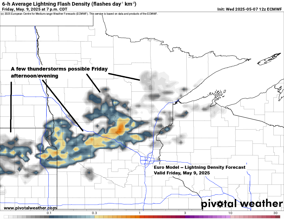
A few showers or thunderstorms may develop across parts of the Northland on Friday into Friday evening as a cold front moves through the area. However, due to limited moisture associated with this front, a widespread rain or severe weather event is unlikely. Nonetheless, a few storms could still form if sufficient instability develops ahead of the boundary.
Temperatures will rise on Friday before the front, reaching highs in the 70s to lower 80s in northeast Minnesota and northwest Wisconsin, including areas near Lake Superior, as winds shift to the southwest.
Temperatures are expected to decrease once more on Saturday, particularly near Lake Superior. However, following this, a period of warm weather is anticipated to begin on Sunday and persist through the middle of next week, with afternoon temperatures reaching the 80s across much of the Northland
The high temperature in Duluth on May 6th was 84 degrees, marking only the 5th occurrence of 80 degrees or more on this date since 1875, see below.
2016: 92
2025: 84
2000: 82
1934: 82
1895: 80
A significant drop in temperatures occurred today due to Lake Superior and a northeast wind originating from the chilly waters. This afternoon’s temperatures were over 30 degrees colder compared to those recorded late Tuesday afternoon.

Temperatures away from Lake Superior were cooler than the last few days but still decent, reaching the 60s, which is close to the normal highs for early May.
Note: Tonight and Thursday night will be cool, with temperatures in the 30s and possibly some areas reaching the 20s. Patchy frost is likely both nights in parts of the Northland.

Thanks for reading!
Leave a Reply