Scattered showers and a few thunderstorms are expected in northeast Minnesota and northwest Wisconsin on Wednesday, continuing into the evening as a cold front moves south from Ontario.
Widespread rain is unlikely with this upcoming front, but scattered showers are expected, with some areas experiencing brief heavier downpours.
According to the HREF model, some areas in the Northland could see rainfall totals of half an inch or more by late Wednesday night, though the average is generally between 0.05 and 0.25 inches.


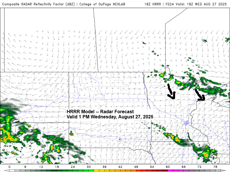
Here’s a glimpse at some convection-allowing model-simulated radar forecasts for Wednesday.
The showers on Wednesday are expected to start in northern Minnesota during the day, gradually moving southward to reach east-central Minnesota including the Twin Ports and northwest Wisconsin by late Wednesday afternoon or evening.
NAM 3km model

MPAS-HT model


Subscribe to continue reading
Become a paid subscriber to get access to the rest of this post and other exclusive content.