Category: winter storm watch
-
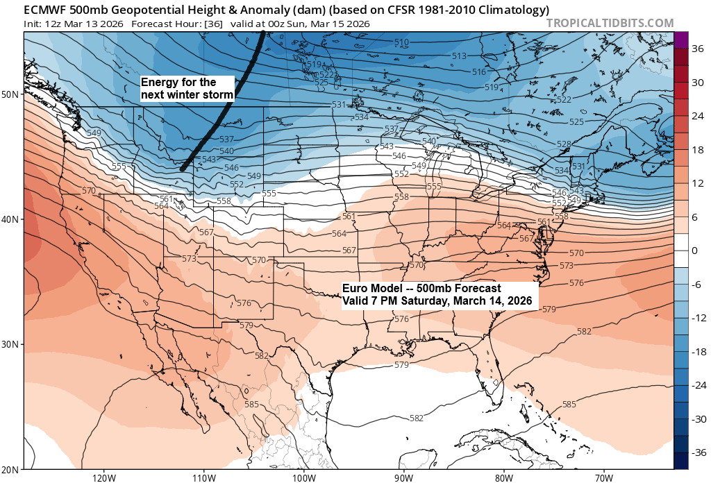
Another winter storm is on the way this weekend, with the heaviest snowfall expected mostly south of the Northland.
Updated snowfall stats for Duluth, Minnesota Month to date total: 15.7 inchesDeparture: +9.4 inches above normal Seasonal total for 2025-26: 70.6 inchesDeparture: -3.2 inches below normal Note: By March 13th, Duluth has gotten about 26 inches more snow this winter than it did last winter. Duluth has been hit with…
-
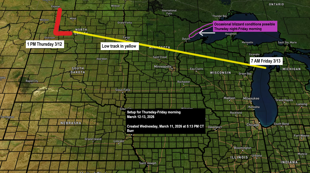
More snow is expected to roll in by mid to late Thursday afternoon.
Latest snowfall numbers for Duluth following the past two snow events. The seasonal total for 2025-2026 has reached 61.2 inches, which is 11.8 inches below to date. We’re just 29 inches short of our average of 90.2 inches and have definitely made some progress lately. So far, Duluth has seen…
-
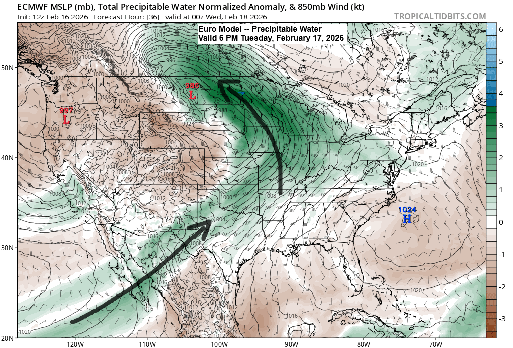
A winter storm is set to roll in Tuesday evening.
The winter storm moving in Tuesday evening will bring plenty of moisture, with a plume stretching northeast from the Baja region and additional moisture streaming up from the Gulf. PWATs of 0.5 to 0.75 inches are expected across much of the Northland Tuesday night into Wednesday morning, which is unusually…
-
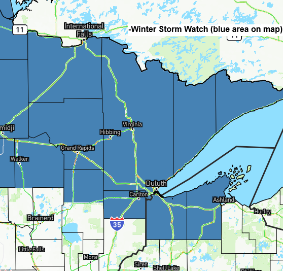
Latest update on the potential midweek winter storm.
A winter storm watch has been issued for northern and northeastern Minnesota, including Duluth, and far northwestern Wisconsin, from Tuesday night through early Thursday morning as a midweek storm approaches. Timing: Patchy drizzle and freezing drizzle may develop in Duluth Tuesday afternoon, with snow becoming more likely by Tuesday evening…
-
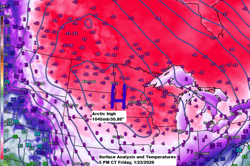
Arctic Blast Continues
Bitterly cold air will remain over the Northland this weekend. Temperatures will likely stay below zero again on Saturday, but there is a chance that some areas may climb above zero for a short time Sunday afternoon. If that doesn’t happen Sunday afternoon, then Monday afternoon’s temperatures look to rise…