Tag: slight risk
-

A few rain chances ahead; Drought Update
4:51 PM Thursday, August 10, 2023 A small part of far northwest Wisconsin is now in Exceptional Drought while much of the rest of northwest Wisconsin and parts of northeast and east central Minnesota remain in Severe to Extreme Drought in this week’s drought monitor. Rainfall anomalies across much of…
-
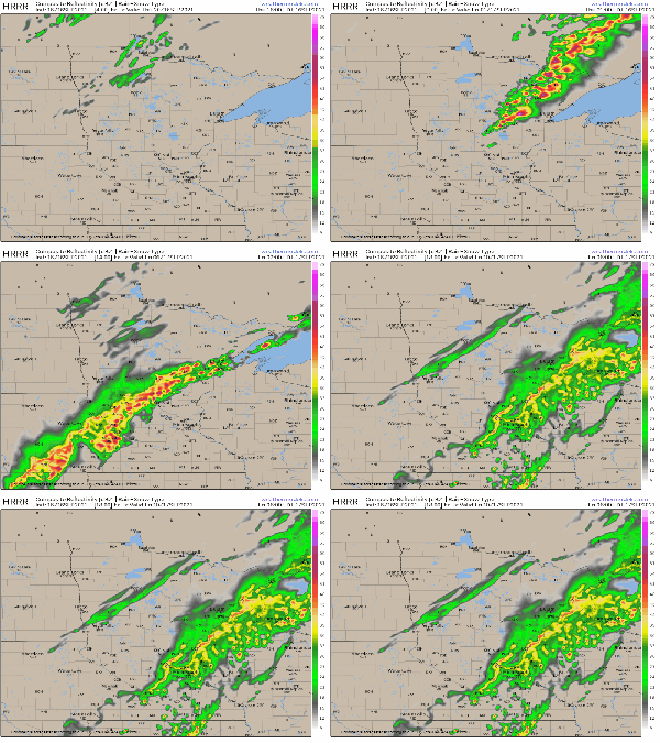
Update on the threat for severe weather late this afternoon/evening
12:30 PM Thursday 9/16/2021 The atmosphere is becoming increasingly unstable in the Northland early this afternoon thanks to ample sunshine and a southerly wind which is transporting a warm, humid and unstable air mass northeastward into the Northland. Meanwhile, a cold front was over northwestern Minnesota as of Noon today,…
-
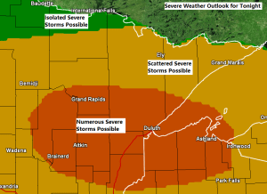
Strong to Severe Thunderstorms possible tonight (highest chances across southern portions of the Northland)
Strong to severe thunderstorms are possible across much of the Northland tonight, with an Enhanced Risk (3) for severe thunderstorms covering portions of northeast and east-central Minnesota and much of northwest Wisconsin (area in orange on map) while a Slight Risk (2) for severe thunderstorms covers areas farther north and…
-

Isolated to scattered strong to severe thunderstorms possible in parts of the Northland Monday
There is another chance for some strong to severe thunderstorms over parts of northeast Minnesota and all of northwest Wisconsin on Monday. The risk for severe weather is greatest (slight risk) across southern portions of the area, from Squaw Lake and Hibbing, east toward Silver Bay, including all of east-central…
-

Warm and Humid with scattered showers/t-storms thru Friday night (A few strong to severe storms possible Friday) >70% of Minnesota in Severe Drought; Warm pattern sticks around through next week
Rain chances continue across the Northland through Friday night, so hopefully a lot of us will get at least some rain over the next 24-36 hours since this is the best setup we’ve seen around here in weeks. Will have a few sources of lift (fronts) moving through the area…
-

Another round of thunderstorms possible late this afternoon/this evening, a few could be strong to severe
1:32 PM CT – There is an Enhanced Risk for Severe Thunderstorms late this afternoon into this evening over eastern Minnesota and for parts of northwest Wisconsin, roughly from Aitkin to Mahtowa, east to Lake Nebagamon, then south to Cable and Winter, this includes the Hayward lakes area as well.…
-

Strong to Severe Thunderstorms possible tonight; rain chances continue Tuesday
Ingredients are coming together for possible severe weather late this afternoon and this evening across portions of western, northern and central Minnesota. A cold front approaching from the west along with stronger upper level winds will create atmospheric lift while southerly winds in the low levels of the atmosphere continue…