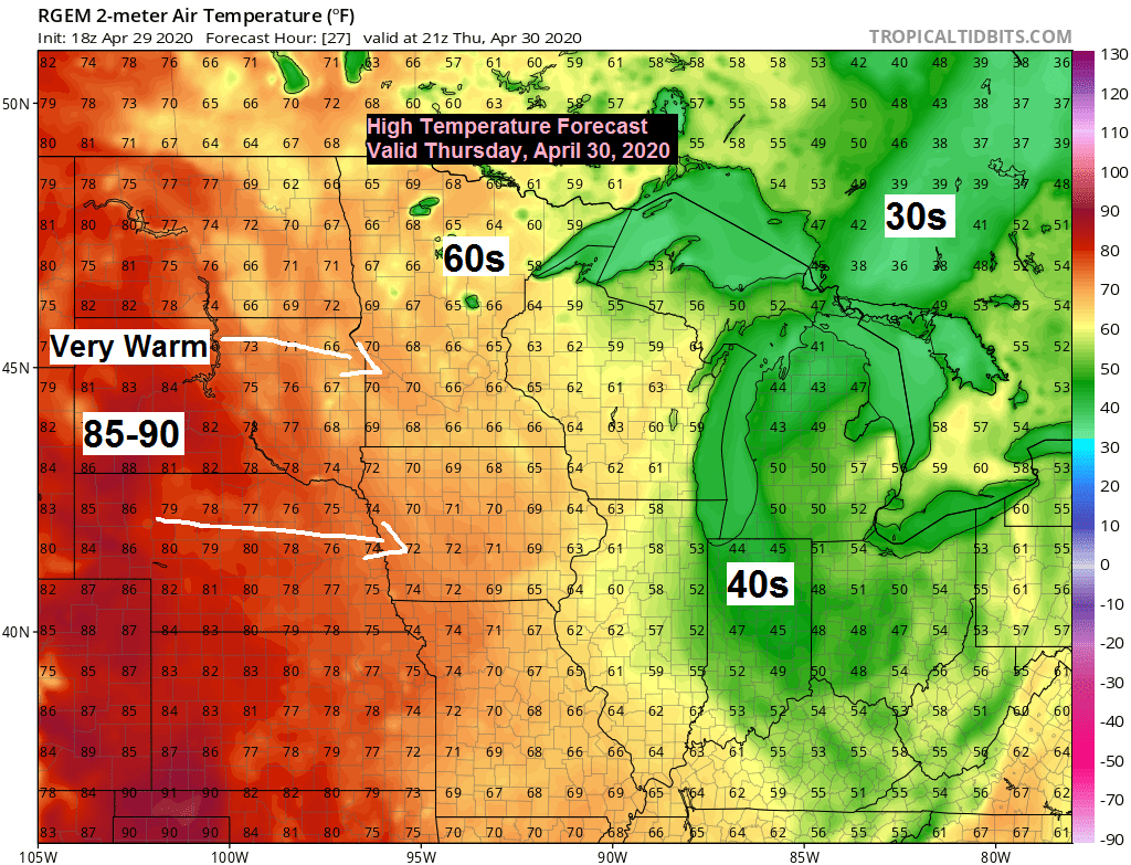
-Thursday is shaping up to be a real nice spring day across the Northland. Lots of sunshine is in the forecast with high temps in the 60s! Winds will be out of the southwest or north at 5 to 15 mph.
-As nice as Thursday will be, Friday isn’t looking quite as nice as will see more clouds along with some rain by the afternoon. Highs Friday could climb into the 50s and 60s, but this will depend on the timing of the clouds and rain. It also looks like will have an easterly wind on Friday which should keep temps in the 40s near Lake Superior.
-As for Saturday, if skies clear early enough, and the east wind early in the day shifts to the west like the models show it doing, then I see no reason why we won’t make a good run at hitting 70 degrees in Duluth.

An early look at the timing of Friday’s rainfall.
Begins in western-southern areas mid to late Friday morning, then the showers will spread farther ENE Friday afternoon.
Note: Looks like the rain moves into Duluth and Superior around 1-2 PM Friday with some rain continuing through Friday evening before ending later Friday night (timing of the rain could change)
Simulated radar forecast valid from 7 AM Friday to 1 AM Saturday.
Source: 18z NAM-WRF model 4.29.2020; https://weathermodels.com/

Rainfall Reports from around the Northland from Tuesday, April 28, 2020.
Source: https://www.weather.gov/dlh/
| 6.7 SE Hayward, WI: 1.77″ Glidden, WI: 1.61″ 4 W Clam Lake, WI: 1.43″ 1.2 W Solon Springs, WI: 1.40″ Hurley, WI: 1.37″ 1 SW Ashland, WI: 1.36″ Bayfield, WI: 1.26″ Danbury, WI: 1.26″ Ashland, WI: 1.15″ Minong, WI: 1.06″ Hayward, WI: 0.98″ Washburn, WI: 0.94″ Siren, WI: 0.93″ Poplar, WI: 0.83″ South Range, WI: 0.74″ Two Harbors, MN: 0.67″ Superior, Airport: 0.51″ Esko, MN: 0.44″ Duluth Airport: 0.40″ Lutsen, MN: 0.25″ |
Here’s a look at how much rain fell with Tuesday’s system.
Source: https://lab.weathermodels.com/

Quite a storm wreaking havoc today east of our area with heavy rain which is causing some flooding, and also strong N-NE winds which is causing lakeshore flooding near Lake Michigan today.
Source: Goes-16 water vapor imagery 4.29.2020; https://weather.cod.edu/

The early to middle portion of next week looks rather chilly at the moment, and we could also see some more rain, and possibly even some snow depending on the track of next week’s system, and how the temperatures setup from the surface to aloft – Stay tuned!
Source: https://www.wpc.ncep.noaa.gov/

The Euro ensemble snowfall chiclets are showing some color after about May 4th, in other words, our snow season in Duluth may not be over just yet.
31/50 (62%) EPS members from the 12z model run from April 29 show some sort of snow accumulation occurring in Duluth sometime between May 5th and May 14th.
Quite a few things will have to setup correctly in order to get snow in May, but snow in May has happened before, in fact Duluth averages 0.4″ of snow during the month of May.
Snowiest May on record in Duluth (going back to 1884) was 13.3 inches set just last year (2019)
Source: https://weathermodels.com/

Forecast for Duluth and Superior
.Tonight… Mostly clear. Low 35 to 40. Wind north to northeast 5 to 15 mph.
.Thursday… Mostly sunny. High 60 to 65 but cooler near Lake Superior. Wind north to northeast 5 to 15 mph.
.Friday… Increasing cloudiness. Some rain possible in the afternoon. High 55 to 60 but cooler near Lake Superior. Wind becoming east to southeast 10 to 20 mph.
| Normal temperatures for April 30 High 57 Low 36 Sunrise Thursday 5:54 AM CDT Sunset Thursday 8:18 PM CDT |
Thanks for reading!
Tim
Leave a Reply