A warm weekend ahead, but a stronger east wind is forecast to develop by Sunday which will result in a cooling trend for lakeside locations on Sunday, but very warm temps will be found away from the lake both Saturday and Sunday with highs mainly in the 80s, and lakeside locations should also be quite warm especially on Saturday.
The last time Duluth, Minnesota had a quarter inch or more of rain was on May 26th (0.32″ of rain) A month ago! As I’ve pointed out before, typically we need around an inch or so of rain per week during the summer to avoid drought conditions, and well that just hasn’t been happening this spring and early summer, and here we are in moderate drought to abnormally dry conditions across much of the Northland with Duluth’s precipitation deficit since January 1st >6.50″ below normal! We’re going to need at least one major rain event (something like 2-4″) and then will need to stay in a wet weather pattern for a few more weeks in order to get back to normal, if this doesn’t happen, drought conditions will continue to worsen over the next month or so. Basically we’re about 2 months worth of precipitation below normal right now in Duluth, that’s quite a bit to make up, especially for this area.
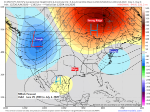
Need to keep an eye on the early to middle portion of next week, that looks to be our next chance for any rain in northeast Minnesota and northwest Wisconsin.
The setup for that aforementioned time frame includes a very muggy air mass with dew points of 65 to 75 degrees across the upper Midwest (lower near Lake Superior) along with precipitable water values >1.50″.
Computer models are also showing a high octane level type of instability with CAPE of 3000-5000 J/kg across the region. One issue could be a warm layer of air aloft or the cap which may keep storms from developing, the other issue is the ongoing drought across the Northland, once these get going they can be very hard to break, but there is at least a chance that some parts of the Northland could see some heavy showers and thunderstorms at times next week thanks to some lift provided by a low pressure system to our west and south along with its warm front/stationary frontal boundary. Stay tuned.
Source: https://www.wpc.ncep.noaa.gov/

Thanks for reading!
Tim
Leave a Reply