4:56 PM Wednesday, September 7, 2022
Warm, breezy and hazy conditions with some wildfire smoke will be found in the Northland on Thursday with mostly dry conditions during the day. Highs on Thursday will mainly be in the 80s, but a few locations toward the Brainerd Lakes area could make a run at 90 degrees. Southerly winds gusting 15 to 30 mph are expected in much of the Northland on Thursday.
A cold front will move through the area Thursday night with a somewhat unstable air mass in place near and slightly ahead of this front with CAPE up to 1000 J/kg and steep mid-level lapse rates nearing 8.0 C/km. Winds aloft will also increase which will also increase the amount of wind shear.
The issue to get thunderstorms to develop near this cold front is a pretty strong cap or a layer of warm air aloft which will be present over the Northland on Thursday with 850mb temperatures of +20 to +25C, and 700mb temperatures nearing +14C, so if there isn’t enough lift generated by the front, then chances that we see a few thunderstorms develop are slim to none, however, if there is enough lift to bust through the cap, then we should see at least a few thunderstorms with a low end threat for severe weather in much of the Northland, with timing of this potential mainly occurring Thursday evening/overnight, otherwise will probably see some rain showers move across the Northland late Thursday night through the day Friday in a post-frontal setup.
Looks like will remain dry in the Northland during the day Thursday and probably even into early Thursday evening, but chances for showers and some thunderstorms will increase mid to late evening on Thursday and through the overnight, with some lingering rain possible on Friday, but the trend today in the computer models is for less rain in most of the area after Friday morning.
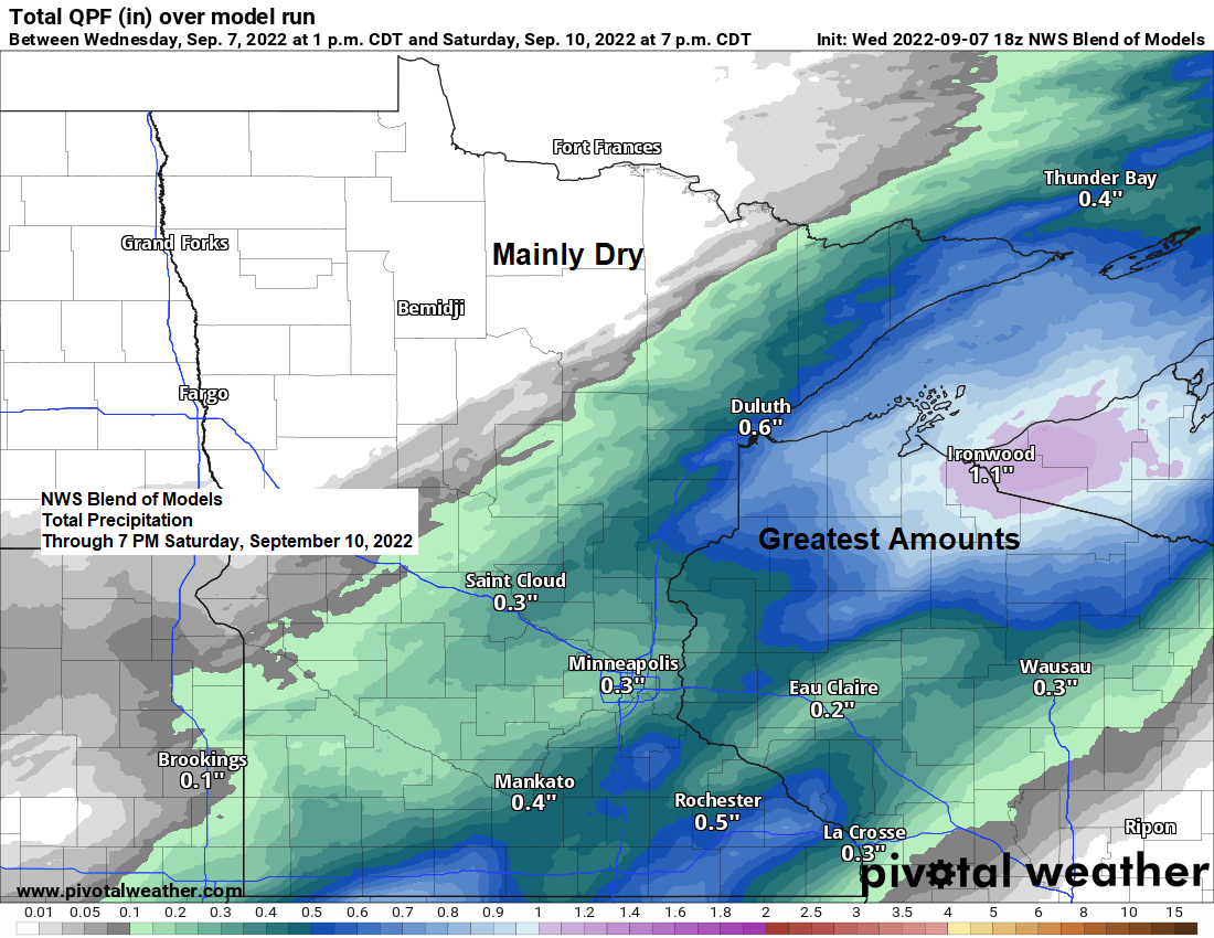
For Duluth — Rain chances increase Thursday night in the 10 PM to 1 AM time frame. Looks like will stay dry before then.
18z NAM 3km model radar forecast valid 7 PM Thursday to 7 PM Friday.

WILDFIRE SMOKE ON THURSDAY
After going through the summer with very little to no impacts from wildfire smoke in the Northland, things will change quite a bit on Thursday as we get a plume of thicker wildfire smoke and haze to move eastward across the area due to several wildfires which are burning across the Pacific northwest/northern Rockies.
Moderate air quality impacts with some smoke smell and a reduction in visibility are expected in much of Minnesota for Thursday and Friday per update from the Minnesota Pollution Control Agency, although the smoke/haze may diminish somewhat on Friday in parts of Minnesota.
Here’s the HRRR smoke model forecast through 7 AM Friday.
Thicker wildfire smoke in yellow, orange and red on the animation below.

Isolated strong to severe thunderstorms are possible over much of northeast and east-central Minnesota and in much of northwest Wisconsin mainly for Thursday evening/overnight.
The primary severe weather threats include large hail up to 1.50″ in diameter (ping pong ball size) and damaging wind gusts to 60 mph.

Thursday will be a warm one for early September, but this may also be the last time we see temperatures this warm in our area until sometime next spring.
Cooler temperatures arrive on Friday and continue through the weekend with highs mostly in the 60s to around 70 which is closer to normal to a little below normal for this time of year.

We’re seeing quite a dew point gradient across the region today with dew points in the muggy 60s across western, central and southern Minnesota to a much drier air mass with dew points in the 40s in northern Minnesota.
A more humid air mass will push north into the Northland for a brief stay on Thursday with dew points in the 60s expected.

LONG RANGE FORECAST
The forecast for this weekend into early next week will depend on where an upper-level low develops. The trend in most of the computer models is for this upper low to develop farther south over portions of the Midwest. Should this verify, then much of the Northland would stay dry Saturday through early next week, however, there is at least one computer model (NAM) showing a farther north solution to the upper low, and if this verifies, then will be dealing with some rain at times in northeast and eastern Minnesota and northwest Wisconsin this weekend.
Here’s the Euro ensemble model 500mb forecast for September 12-17, 2022. This model shows the Northland more in the ridge vs. the trough.

Above normal temperatures are still expected in the Northland next week.

Thanks for reading!
Tim
Leave a Reply